


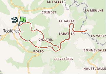

82 km | 119 km-effort


User


FREE GPS app for hiking
 SityTrail
IGN / Geographical institutes
SityTrail World
The world is yours!
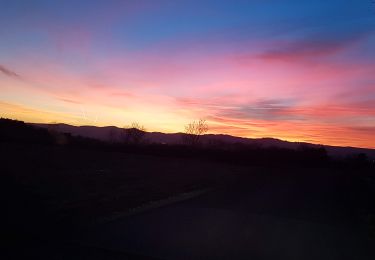
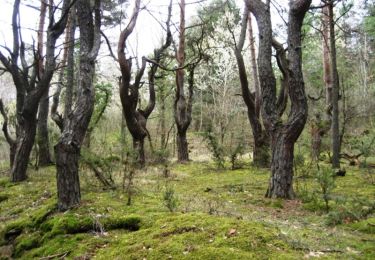
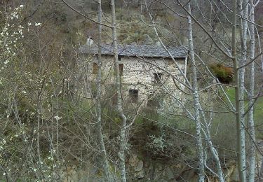
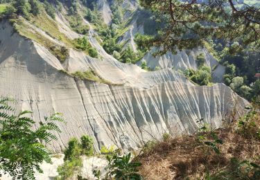
Trail Walking of 10.7 km to be discovered at Auvergne-Rhône-Alpes, Haute-Loire, Rosières. This trail is proposed by belleney.
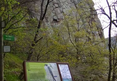
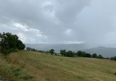
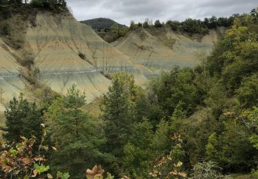
Ancienne voie ferrée , appelée maintenant "Via Fluvia" car entre Loire et Rhone . Très beau site avec le ravin de Corboeuf , curiosité géologique et de beaux viaducs.Beau village de Chastel .


sport
Walking
Walking
Walking
Walking
Walking

Mountain bike
Walking
Walking