


5.8 km | 10 km-effort


User


FREE GPS app for hiking
 SityTrail
IGN / Geographical institutes
SityTrail World
The world is yours!
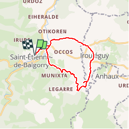
Trail Mountain bike of 12.1 km to be discovered at New Aquitaine, Pyrénées-Atlantiques, Saint-Étienne-de-Baïgorry. This trail is proposed by tracegps.
Petit circuit VTT autour de Baigorri et Irouleguy. Attention : la trace est dessinée manuellement et peut donc comporter de légères erreurs. Un Itinéraire du guide " 55 balades et randonnées en Pays Basque " réalisé par la Communauté des Communes de Garazi-Baigorri


On foot

Walking

Walking

Walking

Walking
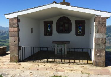
Walking

Walking
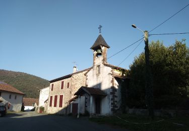
Walking
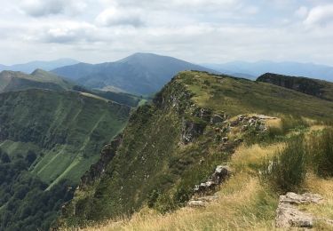
Walking