
Forêt de Pierrefonds

tracegps
User

Length
20 km

Max alt
143 m

Uphill gradient
291 m

Km-Effort
24 km

Min alt
59 m

Downhill gradient
288 m
Boucle
Yes
Creation date :
2014-12-10 00:00:00.0
Updated on :
2014-12-10 00:00:00.0
5h00
Difficulty : Medium

FREE GPS app for hiking
About
Trail Walking of 20 km to be discovered at Hauts-de-France, Oise, Pierrefonds. This trail is proposed by tracegps.
Description
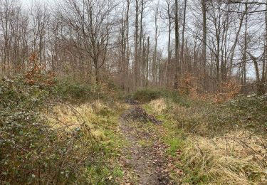
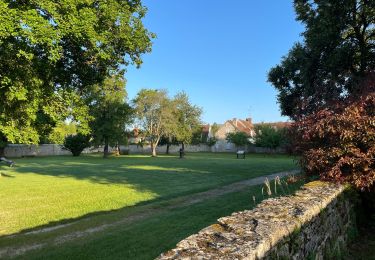
Rando dans la forêt de Compiègne. Départ et arrivée au château de Pierrefonds ( parking). Petite grimpette au départ pour avoir une belle vue , puis ensuite forêt, forêt , forêt... Longue , très longue ligne droite terminale sur la piste cyclable pour finir.
Positioning
Country:
France
Region :
Hauts-de-France
Department/Province :
Oise
Municipality :
Pierrefonds
Location:
Unknown
Start:(Dec)
Start:(UTM)
498134 ; 5466309 (31U) N.
Comments
Trails nearby

Le Voliard


On foot
Easy
(1)
Pierrefonds,
Hauts-de-France,
Oise,
France

5.2 km | 6.4 km-effort
1h 27min
No

Rando couscous ATPC ARVAL 4/2/2024


Walking
Medium
(1)
Pierrefonds,
Hauts-de-France,
Oise,
France

9.6 km | 11.9 km-effort
2h 42min
Yes

SAINT JEAN AUX BOIS, le village et les bois


Walking
Easy
Saint-Jean-aux-Bois,
Hauts-de-France,
Oise,
France

4.6 km | 5.2 km-effort
1h 11min
Yes

Rando douce Vieux moulin 14/8/2022


Walking
Medium
(1)
Vieux-Moulin,
Hauts-de-France,
Oise,
France

8.7 km | 10.1 km-effort
2h 14min
Yes

Gorges du Han - ATPC ARVAL


Walking
Very easy
(1)
Vieux-Moulin,
Hauts-de-France,
Oise,
France

13.2 km | 16 km-effort
2h 42min
Yes

Saint Jean au Bois 13,4 km


Walking
Easy
Saint-Jean-aux-Bois,
Hauts-de-France,
Oise,
France

13.4 km | 16.3 km-effort
3h 51min
Yes

Le Mont-Collet


On foot
Easy
Trosly-Breuil,
Hauts-de-France,
Oise,
France

4.9 km | 6.6 km-effort
1h 29min
Yes

en Forêt de Compiègne_39_Saint-Jean-aux-Bois_Mont d'Arcy


Walking
Very difficult
Saint-Jean-aux-Bois,
Hauts-de-France,
Oise,
France

17.9 km | 21 km-effort
5h 38min
Yes

Gorges du Han


Walking
Very easy
(1)
Vieux-Moulin,
Hauts-de-France,
Oise,
France

11.5 km | 13.8 km-effort
2h 42min
Yes


 SityTrail


