

Bréhat : le tour de l'ile

tracegps
User

Length
11.9 km

Max alt
25 m

Uphill gradient
146 m

Km-Effort
13.8 km

Min alt
0 m

Downhill gradient
139 m
Boucle
Yes
Creation date :
2014-12-10 00:00:00.0
Updated on :
2014-12-10 00:00:00.0
5h00
Difficulty : Medium

FREE GPS app for hiking
About
Trail Walking of 11.9 km to be discovered at Brittany, Côtes-d'Armor, Île-de-Bréhat. This trail is proposed by tracegps.
Description
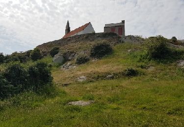
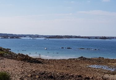
Bréhat, l'île aux fleurs! la durée est aléatoire car ce n'est pas de la rando mais de la promenade. Beaucoup de choses à admirer et à photographier, une multitude de fleurs, des paysages magnifiques beaucoup plus de photos sur mon site (lien en haut à droite)
Positioning
Country:
France
Region :
Brittany
Department/Province :
Côtes-d'Armor
Municipality :
Île-de-Bréhat
Location:
Unknown
Start:(Dec)
Start:(UTM)
499713 ; 5409685 (30U) N.
Comments
Trails nearby
Loguivy-de-la-Mer Mélus - GR34 Paimpol - 22.4km 375m 3h30 (45mn) - 2024 06 29


Walking
Medium
Ploubazlanec,
Brittany,
Côtes-d'Armor,
France

22 km | 27 km-effort
5h 30min
Yes

GR34-EtapeII-J04


Walking
Medium
(1)
Ploubazlanec,
Brittany,
Côtes-d'Armor,
France

23 km | 29 km-effort
8h 0min
No
GR_34_DB_23_Ploubazlanec_Lezardrieux_20240804


Walking
Medium
Ploubazlanec,
Brittany,
Côtes-d'Armor,
France

10.5 km | 13.5 km-effort
2h 45min
No

Brehat


Walking
Easy
Île-de-Bréhat,
Brittany,
Côtes-d'Armor,
France

11.9 km | 13.9 km-effort
3h 50min
No

Brèhat 12.7.23


Walking
Easy
Île-de-Bréhat,
Brittany,
Côtes-d'Armor,
France

16 km | 18.6 km-effort
4h 40min
No
Île de Brehat


Walking
Easy
Île-de-Bréhat,
Brittany,
Côtes-d'Armor,
France

15.4 km | 17.5 km-effort
4h 22min
Yes
Ile de Bréhat


Walking
Very easy
Ploubazlanec,
Brittany,
Côtes-d'Armor,
France

7 km | 7.9 km-effort
1h 30min
No
Île de Bréhat


Walking
Easy
(1)
Île-de-Bréhat,
Brittany,
Côtes-d'Armor,
France

15.7 km | 18.4 km-effort
6h 59min
Yes
Balade depuis la pointe de l'Arcouest


Walking
Medium
(1)
Ploubazlanec,
Brittany,
Côtes-d'Armor,
France

7.1 km | 9 km-effort
1h 50min
Yes


 SityTrail




super ballade
Ne pas craindre de sortir un peu des sentiers battus au risque de devoir rebrousser chemin sur une courte portion. Bravo pour cette découverte de l'Ile
trop courte, car trop belle.
trop courte, car trop belle.