


22 km | 28 km-effort

User


FREE GPS app for hiking
 SityTrail
IGN / Geographical institutes
SityTrail World
The world is yours!
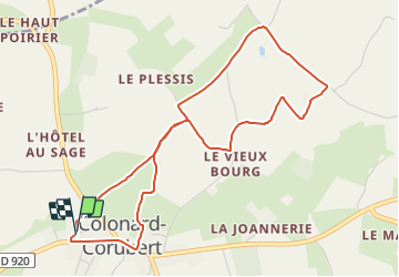
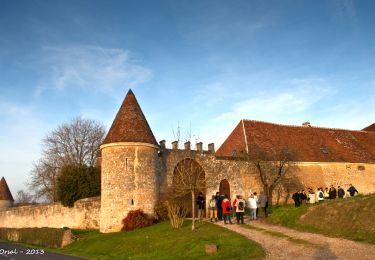
Trail Walking of 4.8 km to be discovered at Normandy, Orne, Perche en Nocé. This trail is proposed by ODDAD78.
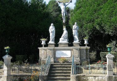
Départ : Colonard (Colonard-Corubert), église
Prendre le chemin des écoliers, à gauche de la Mairie. Rejoindre la D 9 et la traverser. Poursuivre tout droit par le chemin de la Brosse (GR 22) jusqu'à une intersection.
Emprunter à gauche un sentier intimiste. Au carrefour, descendre à gauche et, 100m plus loin remonter à droite par le chemin goudronné du Plessis jusqu'à la VC3.
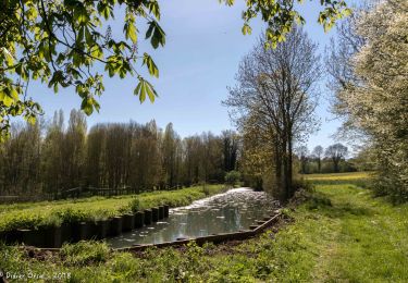
Tourner à gauche. Suivre la voie communale sur 300m. Après un hangar, passer le ruisseau de Colonard, puis monter à droite (pente raide) pour rejoindre le chemin de l'Ormoie sur votre droite.
Bifurquer à droite. Traverser le hameau puis, avant un second groupe de bâtiments, tourner à droite. Longer une habitation et à son extrémité, prendre un chemin en herbe. Tourner à gauche. Franchir le ruisseau de Colonard sur une passerelle. Remonter le sentier caillouteux où s'écoule une source (passage humide) et rejoindre la VC3 à la Morinière (GR22)
Suivre de nouveau la voie communale à gauche, sur 200m. gagner l'entrée du "Vieux Bourg" : le "Vieux Colonard". Juste avant les 1ères maisons du hameau, prendre à droite un chemin en herbe et monter jusqu'à un Y (laisser le champ sur gauche) et prendre à droite. Puis tourner à gauche (on revient alors pendant quelques
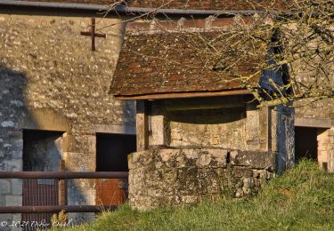
Contourner la maison et descendre un chemin enherbé sinuant entre herbages et champs cultivés. Au lavoir, remonter le chemin du même nom qui débouche sur la D 920.
Retour par la rue de la Maréchalerie et la rue du Buisson


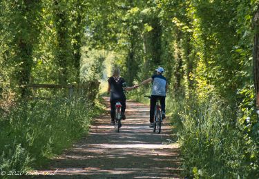
Walking
Walking
Walking
Walking
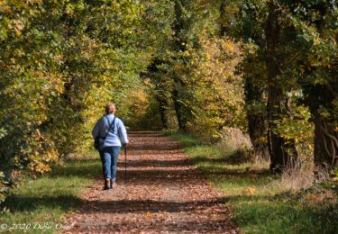
Walking
Walking
Walking
Walking
Walking