18.8 km | 24 km-effort
Lectoure-Lectoure - 52km-496dénniv.
PORTELLO
User
Length
52 km
Max alt
189 m
Uphill gradient
577 m
Km-Effort
60 km
Min alt
72 m
Downhill gradient
576 m
Boucle
Yes
Creation date :
2019-01-15 17:31:30.405
Updated on :
2019-01-15 17:31:30.405
3h30
Difficulty : Easy
FREE GPS app for hiking
About
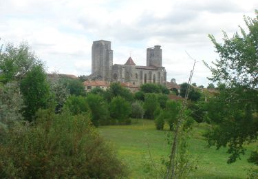
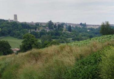
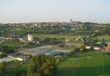
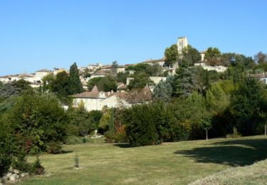
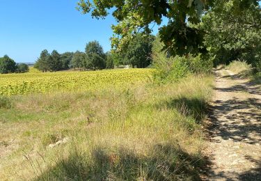
Trail Cycle of 52 km to be discovered at Occitania, Gers, Lectoure. This trail is proposed by PORTELLO.
Description
Lectoure-Route de Nérac, La vallée de L'auchie, bas de terraube, Fleurance, route du lac, Lectoure.
Positioning
Country:
France
Region :
Occitania
Department/Province :
Gers
Municipality :
Lectoure
Location:
Unknown
Start:(Dec)
Start:(UTM)
309488 ; 4867273 (31T) N.
Comments
Trails nearby
CC_Velay_ED_20_Lectoure_Castelnau-Auvignon_20080820
Walking
Medium
Lectoure,
Occitania,
Gers,
France
24 km | 30 km-effort
5h 45min
No
Lectoure - La Romieu - Chemin de Compostelle
Walking
Very difficult
Lectoure,
Occitania,
Gers,
France
19.6 km | 24 km-effort
7h 10min
No
32-05-Au Cœur de Gascogne Auch-24km-102-5607-
Walking
Medium
Lectoure,
Occitania,
Gers,
France
24 km | 29 km-effort
6h 10min
No
espazot condom 13.7.2017
Walking
Very easy
Lectoure,
Occitania,
Gers,
France
22 km | 27 km-effort
4h 50min
No
Lac des trois vallées - Lectoure
Walking
Medium
(1)
Lectoure,
Occitania,
Gers,
France
14.2 km | 18.3 km-effort
3h 30min
Yes
Groussan - Lectoure
Walking
Medium
Lectoure,
Occitania,
Gers,
France
4 km | 5.8 km-effort
1h 0min
Yes
Arton - Lectoure
Walking
Difficult
Lectoure,
Occitania,
Gers,
France
20 km | 25 km-effort
5h 0min
Yes
Les Galis - Lectoure
Walking
Difficult
Lectoure,
Occitania,
Gers,
France
17.9 km | 23 km-effort
4h 30min
Yes