


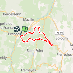

8.5 km | 12.4 km-effort


User


FREE GPS app for hiking
 SityTrail
IGN / Geographical institutes
SityTrail World
The world is yours!
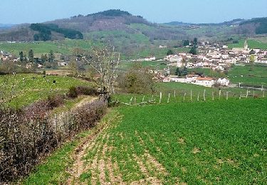
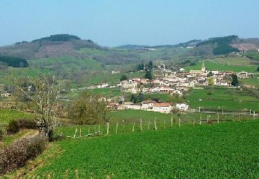
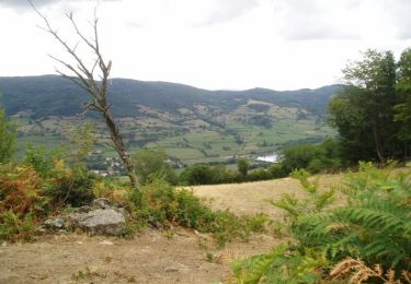
Trail Walking of 18.7 km to be discovered at Bourgogne-Franche-Comté, Saône-et-Loire, Navour-sur-Grosne. This trail is proposed by tracegps.
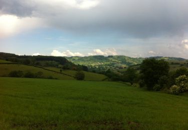
Rando sympathique qui vous fera découvrir les paysages du Haut Clunysois. Passage au Col des Enceins. Possibilité de restauration à Bourgvilain : "Chez la Zette". Accueil pique-nique.
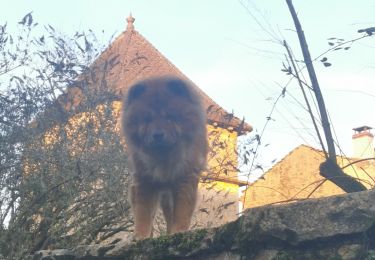
Walking
Walking
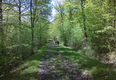
Walking
Walking
Walking
Walking
Mountain bike
Mountain bike
Walking