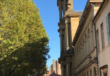
Trail Mountain bike Metz - Lac Symphonie - Metz - Photo

Lac Symphonie - Metz

 tracegps
tracegps

User

© OpenStreetMap contributors
Length
Length
32 km
Max alt
Max alt
233 m
Uphill gradient
Uphill gradient
324 m
Km-Effort
Km-Effort  
36 km
Min alt
Min alt
162 m
Downhill gradient
Downhill gradient
324 m
Boucle
Boucle
Yes
Creation date :
2014-12-10 00:00:00.0
Updated on :
2014-12-10 00:00:00.0

(0 Reviews)

Mountain bike
Mountain bike
2h30
Difficulty : Difficult

Scan this QR Code to open this trail in the SityTrail application

FREE GPS app for hiking

Logo SityTrail SityTrail

IGN / Geographical institutes

Download SityTrail from the App Store Download SityTrail from Google Play

Logo SityTrail SityTrail World

The world is yours!

Download SityTrail from the App Store Download SityTrail from Google Play Download SityTrail on Huawei AppGallery

About

Trail Mountain bike of 32 km to be discovered at Grand Est, Moselle, Metz. This trail is proposed by tracegps.

Description

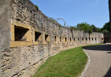
Balade sympathique au départ du lac Symphonie en passant par le "bois de l'hopital" et par la voie verte de Coin les Cuvry jusqu'a Marly. Passage un peu difficile pour le débutant dans le secteur du fort de Queuleu. Dans l'ensemble c'est plutôt facile. ATTENTION : Franchissement d'une départementale D913 a 3 voies assez fréquenté.

Elevation profile

Positioning

Country:
France
Region :
Grand Est
Department/Province :
Moselle
Municipality :
Metz
Location:
Unknown
Start:(UTM)
296794 ; 5442732 (32U) N.

Trails nearby

Trail On foot Metz - Circuit des sentiers de Queuleu - Photo
On foot
GUIDE+

On foot

Easy
Metz, Grand Est, Moselle, France
4.5 km | 5.2 km-effort
1h 10min
Yes
Trail Walking Metz - 20210723 - METZ - Promenade des remparts - 6 Km - Photo
Walking
GUIDE
pierreh01

Walking

Very easy
Metz, Grand Est, Moselle, France
5.7 km | 6.6 km-effort
1h 45min
Yes
Trail Mountain bike Metz - MetzGare-PAM - Photo
Mountain bike
PhilippeC54

Mountain bike

Easy
(1)
Metz, Grand Est, Moselle, France
30 km | 33 km-effort
Unknown
No
Trail Walking Metz - Vallières - Mey  - Photo
Walking
tracegps

Walking

Medium
Metz, Grand Est, Moselle, France
9.3 km | 11.5 km-effort
2h 30min
Yes
Trail Cycle Metz - Metz - Nancy  - Photo
Cycle
pipistop

Cycle

Very easy
Metz, Grand Est, Moselle, France
68 km | 75 km-effort
6h 2min
No
Trail Cycle Montigny-lès-Metz - Charles le téméraire  - Photo
Cycle
pipistop

Cycle

Easy
Montigny-lès-Metz, Grand Est, Moselle, France
46 km | 50 km-effort
4h 32min
Yes
Trail Walking Metz - Metz - Bord de Seille - Photo
Walking
edmondnagel

Walking

Easy
Metz, Grand Est, Moselle, France
8 km | 8.7 km-effort
1h 54min
No
Trail Walking Longeville-lès-Metz - Circuit des remparts à partir de Saint Symphorien à Metz - Photo
Walking
edmondnagel

Walking

Easy
Longeville-lès-Metz, Grand Est, Moselle, France
11 km | 12.4 km-effort
2h 45min
Yes
Trail Walking Metz - Metz Plan d’eau-Republique - Photo
Walking

Walking

Medium
Metz, Grand Est, Moselle, France
5.9 km | 6.8 km-effort
1h 20min
Yes


Close
My subscriptions