


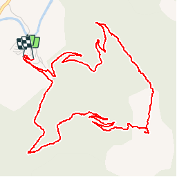


12.4 km | 20 km-effort


User


FREE GPS app for hiking
 SityTrail
IGN / Geographical institutes
SityTrail World
The world is yours!
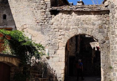
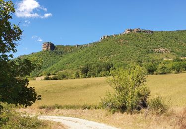
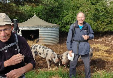
Trail Walking of 7.9 km to be discovered at Occitania, Aveyron, Nant. This trail is proposed by tracegps.
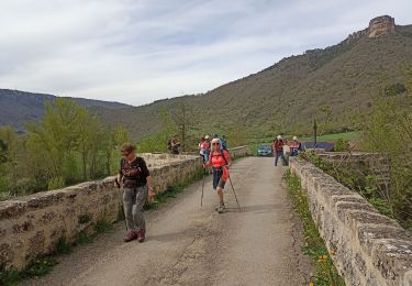
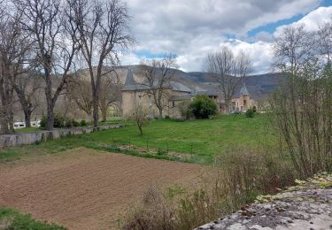
Randonnée au départ du camping Val de Cantobre à travers les bois. Tout au long du trajet, il y a quelques beaux points de vue sur la vallée et sa rivière la Dourbie.


Walking
Walking
Walking
Walking
Walking

Walking
Walking

Running