Trail Walking Plaisians - De Plaisians à Brantes - Photo

De Plaisians à Brantes

 tracegps
tracegps

User

© OpenStreetMap contributors
Length
Length
17.4 km
Max alt
Max alt
737 m
Uphill gradient
Uphill gradient
524 m
Km-Effort
Km-Effort  
24 km
Min alt
Min alt
543 m
Downhill gradient
Downhill gradient
522 m
Boucle
Boucle
Yes
Creation date :
2014-12-10 00:00:00.0
Updated on :
2014-12-10 00:00:00.0

(0 Reviews)

Walking
Walking
4h00
Difficulty : Medium

Scan this QR Code to open this trail in the SityTrail application

FREE GPS app for hiking

Logo SityTrail SityTrail

IGN / Geographical institutes

Download SityTrail from the App Store Download SityTrail from Google Play

Logo SityTrail SityTrail World

The world is yours!

Download SityTrail from the App Store Download SityTrail from Google Play Download SityTrail on Huawei AppGallery

About

Trail Walking of 17.4 km to be discovered at Auvergne-Rhône-Alpes, Drôme, Plaisians. This trail is proposed by tracegps.

Description

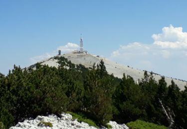
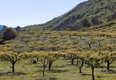
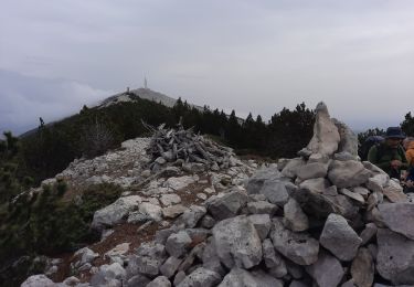
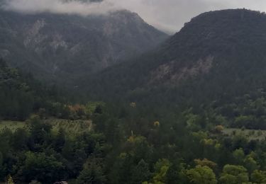
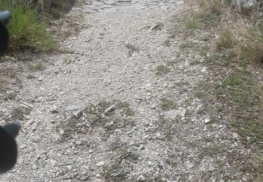
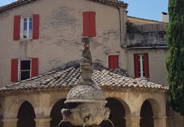
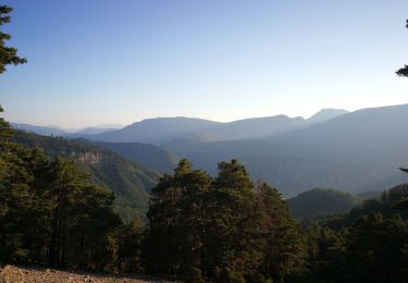
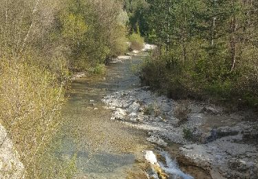
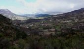
Le départ se fit depuis le village de Plaisians ; nous débutâmes la rando par une montée vers les Arnauds, puis la ferme de Vence, les Girards et le col d’Aiguières. Nous rejoignîmes le GR 9/91 direction plein sud vers Brantes après avoir traversé le ruisseau de Sénaris. Le ciel était parfois menaçant et bien que nous soyons déjà le 1er avril, les giboulées de Mars nous inquiétaient… Pour ne pas laisser le suspense vous nouer les tripes plus longtemps, je dois vous dire qu’elles nous épargnèrent jusqu’au terme de notre randonnée ! Ça, c’est pour les anxieux… C’est à Brantes que les participants décidèrent de déjeuner. Le retour se fit par le même chemin qu’à l’aller ; mais compte tenu des circonstances, il était bien difficile d’imaginer un autre itinéraire. Photos de C. Formet

Elevation profile

Photos

Positioning

Country:
France
Region :
Auvergne-Rhône-Alpes
Department/Province :
Drôme
Municipality :
Plaisians
Location:
Unknown
Start:(Dec)
Start:(UTM)
685040 ; 4900021 (31T) N.

Trails nearby

Trail Walking Brantes - Ascencion du Ventoux sur 2 jours j1 - Photo
Walking
GUIDE
nadinebondoux

Walking

Very difficult
Brantes, Provence-Alpes-Côte d'Azur, Vaucluse, France
22 km | 40 km-effort
8h 53min
No
Trail Walking Buis-les-Baronnies - 26 Buis Le Saint-Julien - Photo
Walking
Maryma

Walking

Difficult
Buis-les-Baronnies, Auvergne-Rhône-Alpes, Drôme, France
8.6 km | 14.6 km-effort
3h 19min
Yes
Trail Walking Beaumont-du-Ventoux - Ventoux-Rochers de Cachillan 12km - Photo
Walking
GUIDE
thonyc

Walking

Very difficult
Beaumont-du-Ventoux, Provence-Alpes-Côte d'Azur, Vaucluse, France
12.4 km | 20 km-effort
5h 30min
Yes
Trail Walking Saint-Léger-du-Ventoux - Montagne de Bluye  - Photo
Walking
GUIDE
nadinebondoux

Walking

Difficult
Saint-Léger-du-Ventoux, Provence-Alpes-Côte d'Azur, Vaucluse, France
18.4 km | 30 km-effort
6h 24min
Yes
Trail Walking Brantes - Brantes - Photo
Walking
pensionisten71

Walking

Medium
(1)
Brantes, Provence-Alpes-Côte d'Azur, Vaucluse, France
12.6 km | 19.1 km-effort
3h 48min
Yes
Trail Electric bike Buis-les-Baronnies - 26 - Buis les Baronnies/Mollans/Ouveze/Propiac - Photo
Electric bike
chris13370

Electric bike

Easy
Buis-les-Baronnies, Auvergne-Rhône-Alpes, Drôme, France
33 km | 41 km-effort
2h 30min
No
Trail Walking Saint-Léger-du-Ventoux - Boucle au dessus de St Léger du Ventoux - Photo
Walking
MarcLEBARON

Walking

Difficult
Saint-Léger-du-Ventoux, Provence-Alpes-Côte d'Azur, Vaucluse, France
19.9 km | 36 km-effort
5h 41min
Yes
Trail Walking Brantes - Brantes-Ventoux-Frache-Brantes-Bis - Photo
Walking
MarcLEBARON

Walking

Difficult
Brantes, Provence-Alpes-Côte d'Azur, Vaucluse, France
28 km | 48 km-effort
8h 2min
Yes
Trail Walking Saint-Léger-du-Ventoux - Crêtes de la montagne de Bluye - Photo
Walking
kephas

Walking

Difficult
Saint-Léger-du-Ventoux, Provence-Alpes-Côte d'Azur, Vaucluse, France
19.6 km | 32 km-effort
6h 29min
Yes


Close
My subscriptions