


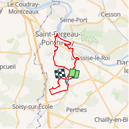

21 km | 25 km-effort


User


FREE GPS app for hiking
 SityTrail
IGN / Geographical institutes
SityTrail World
The world is yours!
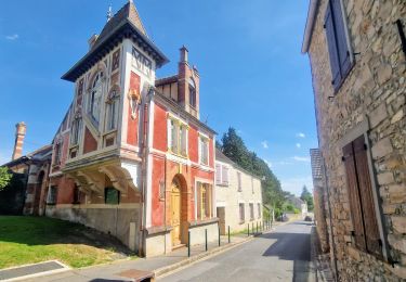
Trail Walking of 23 km to be discovered at Ile-de-France, Seine-et-Marne, Saint-Sauveur-sur-École. This trail is proposed by fmg.
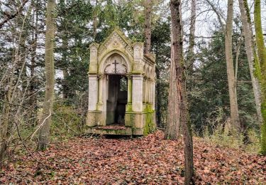
lavoirs dont un circulaire (rare !).
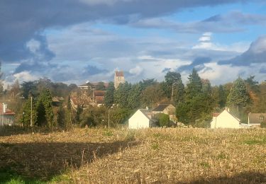
Vue sur château de Montgermont.
Lieu de traversée de la Seine par une division de l'Armée de Patton.
Logements ouvriers usine Leroy.
Bords de Seine et de l'Ecole.
Parc château de Pringy.
On foot

Walking
Walking
Walking
Walking
Walking

Walking
Walking
Walking