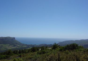
21 km | 26 km-effort
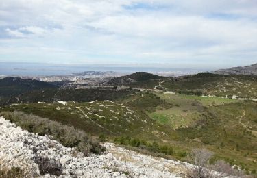
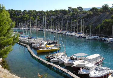
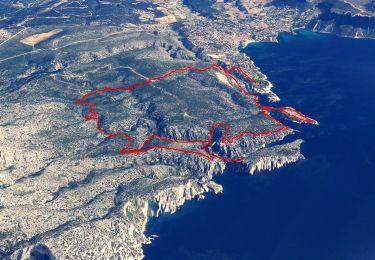
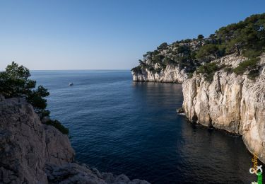
19 avril 2017 falaises devenson
carine2
User
Length
12.2 km
Max alt
260 m
Uphill gradient
424 m
Km-Effort
17.9 km
Min alt
126 m
Downhill gradient
424 m
Boucle
Yes
Creation date :
2019-01-15 17:26:13.481
Updated on :
2019-01-15 17:26:13.481
4h41
Difficulty : Easy
FREE GPS app for hiking
About
Trail Walking of 12.2 km to be discovered at Provence-Alpes-Côte d'Azur, Bouches-du-Rhône, Marseille. This trail is proposed by carine2.
Description
4h45 12.4 km
Positioning
Country:
France
Region :
Provence-Alpes-Côte d'Azur
Department/Province :
Bouches-du-Rhône
Municipality :
Marseille
Location:
9th Arrondissement
Start:(Dec)
Start:(UTM)
703328 ; 4789064 (31T) N.
Comments
Trails nearby
7909608-TRIMRS2017_Parcours Bike L V5
Road bike
Medium
(1)
Cassis,
Provence-Alpes-Côte d'Azur,
Bouches-du-Rhône,
France
1h 31min
No
Luminy: Le chemin du Centaure
Walking
Easy
(1)
Marseille,
Provence-Alpes-Côte d'Azur,
Bouches-du-Rhône,
France
8.6 km | 12.5 km-effort
2h 12min
Yes
3 Calanques 8/01/25
Walking
(1)
Cassis,
Provence-Alpes-Côte d'Azur,
Bouches-du-Rhône,
France
11.2 km | 17.3 km-effort
4h 30min
Yes
SityTrail - Les 3 Calanques - Cassis
Walking
Difficult
(1)
Cassis,
Provence-Alpes-Côte d'Azur,
Bouches-du-Rhône,
France
16.6 km | 25 km-effort
6h 0min
Yes
les calanques de Cassis
Walking
Medium
(1)
Cassis,
Provence-Alpes-Côte d'Azur,
Bouches-du-Rhône,
France
15.9 km | 23 km-effort
6h 2min
No
Traversée des Calanques 1/2
Walking
Difficult
(1)
Cassis,
Provence-Alpes-Côte d'Azur,
Bouches-du-Rhône,
France
16.9 km | 32 km-effort
6h 19min
No
Calanques - Aiguille Eissadon - Col Devenson - En vau - Col l'Oule
Walking
Difficult
(2)
Marseille,
Provence-Alpes-Côte d'Azur,
Bouches-du-Rhône,
France
14.6 km | 22 km-effort
4h 48min
Yes
La Pointe Sud d'en Vau, depuis Cassis
Walking
Medium
(2)
Cassis,
Provence-Alpes-Côte d'Azur,
Bouches-du-Rhône,
France
7.7 km | 11.9 km-effort
3h 30min
Yes
Rando Cassis - Mont Gibaou
Walking
Difficult
(4)
Cassis,
Provence-Alpes-Côte d'Azur,
Bouches-du-Rhône,
France
9.2 km | 14.3 km-effort
3h 0min
Yes