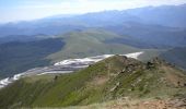
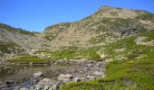
Trail Walking Montségur - Pic de Saint Barthélemy - Pic de Soularac - Photo

Pic de Saint Barthélemy - Pic de Soularac

 tracegps
tracegps

User

© OpenStreetMap contributors
Length
Length
12.7 km
Max alt
Max alt
2345 m
Uphill gradient
Uphill gradient
1070 m
Km-Effort
Km-Effort  
27 km
Min alt
Min alt
1534 m
Downhill gradient
Downhill gradient
1072 m
Boucle
Boucle
Yes
Creation date :
2014-12-10 00:00:00.0
Updated on :
2014-12-10 00:00:00.0

(1 Reviews)

Walking
Walking
6h00
Difficulty : Difficult

Scan this QR Code to open this trail in the SityTrail application

FREE GPS app for hiking

Logo SityTrail SityTrail

IGN / Geographical institutes

Download SityTrail from the App Store Download SityTrail from Google Play

Logo SityTrail SityTrail World

The world is yours!

Download SityTrail from the App Store Download SityTrail from Google Play Download SityTrail on Huawei AppGallery

About

Trail Walking of 12.7 km to be discovered at Occitania, Ariège, Montségur. This trail is proposed by tracegps.

Description

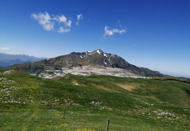
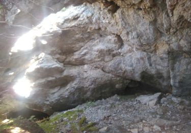
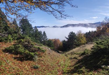
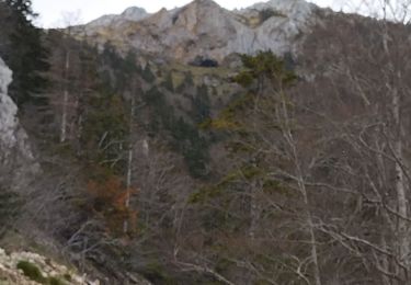
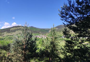
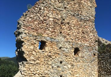
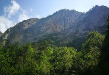
Prendre la piste forestière de Comus aux gorges de la Frau. A l'entrée de la gorge prendre la piste carrossable à gauche sur 2km. Terminus. Suivez les indications GPS au départ: piste peu marquée côté Nord, passage d'une fenêtre avec câble (sans danger ni vertige), grimpe sérieuse le long des étangs de la Truite, du Diable et Supérieur. Passage d'un névé en début de saison. Passage aérien sans difficulté au Pic Soularac mais rester très attentif, ce pic n'est pas facile.

Elevation profile

Photos

Points of interest

Point of interest Montferrier - GC2BR6W - Photo
tracegps
MONTFERRIER 

Positioning

Country:
France
Region :
Occitania
Department/Province :
Ariège
Municipality :
Montségur
Location:
Unknown
Start:(UTM)
403331 ; 4740921 (31T) N.

Comments

Please log in to post a review or rate the element


wahou la rando. 4h de montée pour 3h de descente.30mn de repas. descente dcenfer


Trails nearby

Trail Walking Prades - Pic Fourcat Prades  - Photo
Walking
caccini

Walking

Medium
(1)
Prades, Occitania, Ariège, France
14 km | 25 km-effort
6h 52min
Yes
Trail Walking Montségur - la Frau - Photo
Walking
j2c11

Walking

Medium
Montségur, Occitania, Ariège, France
19.3 km | 35 km-effort
6h 59min
Yes
Trail Walking Prades - Prades col de la Gardie - Photo
Walking
cappelle

Walking

Medium
Prades, Occitania, Ariège, France
10 km | 16.2 km-effort
4h 48min
Yes
Trail Walking Prades - Prades 2024 - Photo
Walking
c.chehere

Walking

Easy
Prades, Occitania, Ariège, France
10.7 km | 17.1 km-effort
3h 39min
Yes
Trail Walking Prades - Mont Fourcat  - Photo
Walking
GUIDE
Ada11

Walking

Difficult
Prades, Occitania, Ariège, France
9.3 km | 19.9 km-effort
4h 13min
No
Trail Other activity Montségur - roc punchut grotte des foyers - Photo
Other activity
jl-torrecillas

Other activity

Very easy
Montségur, Occitania, Ariège, France
2.3 km | 4.4 km-effort
38min
No
Trail Walking Prades - Prades 09 - Photo
Walking
cappelle

Walking

Medium
(1)
Prades, Occitania, Ariège, France
11.9 km | 16.8 km-effort
5h 33min
Yes
Trail Walking Prades - Prades Montaillou  - Photo
Walking
richardsimopons

Walking

Prades, Occitania, Ariège, France
7 km | 10 km-effort
2h 8min
Yes
Trail Walking Fougax-et-Barrineuf - gorge de la Frau - Photo
Walking
antoine57

Walking

Very easy
Fougax-et-Barrineuf, Occitania, Ariège, France
27 km | 36 km-effort
2h 0min
No


Close
My subscriptions