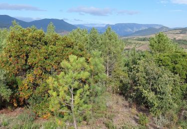
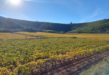
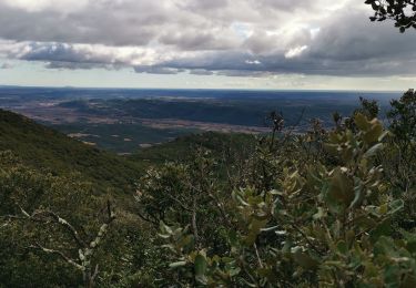
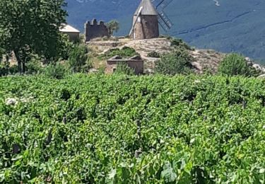
Trail Mountain bike Prades-sur-Vernazobre - Boucle Prades - Cessenon - Cazouls - 10-07-2010 - Photo

Boucle Prades - Cessenon - Cazouls - 10-07-2010

 tracegps
tracegps

User

© OpenStreetMap contributors
Length
Length
36 km
Max alt
Max alt
192 m
Uphill gradient
Uphill gradient
472 m
Km-Effort
Km-Effort  
42 km
Min alt
Min alt
33 m
Downhill gradient
Downhill gradient
472 m
Boucle
Boucle
Yes
Creation date :
2014-12-10 00:00:00.0
Updated on :
2014-12-10 00:00:00.0

(0 Reviews)

Mountain bike
Mountain bike
3h19
Difficulty : Difficult

Scan this QR Code to open this trail in the SityTrail application

FREE GPS app for hiking

Logo SityTrail SityTrail

IGN / Geographical institutes

Download SityTrail from the App Store Download SityTrail from Google Play

Logo SityTrail SityTrail World

The world is yours!

Download SityTrail from the App Store Download SityTrail from Google Play Download SityTrail on Huawei AppGallery

About

Trail Mountain bike of 36 km to be discovered at Occitania, Hérault, Prades-sur-Vernazobre. This trail is proposed by tracegps.

Description

Randonnée VTT en boucle au départ de la Mairie de Prades sur Vernazobre (Variante plus courte départ et arrivée de Cessenon). Début du parcours sur l'ancienne voie ferrée (St Chinian - Béziers) jusqu'à Cazouls et en passant par Cessenon. A partir de Cazouls, parcours avec plus de dénivelé. Fin de parcours de Cessenon à Prades en longeant le Vernazobre.

Elevation profile

Points of interest

Point of interest Cazouls-lès-Béziers - Le Menhir de RoqueBlanque - Photo
tracegps
CAZOULS-LÈS-BÉZIERS 
Point of interest Cazedarnes - Superbe vue - Photo
tracegps
CAZEDARNES 
Point of interest Prades-sur-Vernazobre - Parking de la mairie - Photo
tracegps
PRADES-SUR-VERNAZOBRE 
Point of interest Cessenon-sur-Orb - Auberge de Réals - Photo
tracegps
CESSENON-SUR-ORB 
Point of interest Cazouls-lès-Béziers - Ancienne voie ferrée - Fin - Photo
tracegps
CAZOULS-LÈS-BÉZIERS 
Point of interest Cazouls-lès-Béziers - Passage diffice à trouver - Photo
tracegps
CAZOULS-LÈS-BÉZIERS 
Point of interest Cessenon-sur-Orb - Aire de Pique Nique - Photo
tracegps
CESSENON-SUR-ORB 
Point of interest Cessenon-sur-Orb - Voie ferrée - On continue - Photo
tracegps
CESSENON-SUR-ORB 
Point of interest Cazouls-lès-Béziers - Batisse ancienne et originale... - Photo
tracegps
CAZOULS-LÈS-BÉZIERS 
Point of interest Cessenon-sur-Orb - Pont suspendu de Cessenon - Photo
tracegps
CESSENON-SUR-ORB 
Point of interest Cessenon-sur-Orb - Cessenon - Photo
tracegps
CESSENON-SUR-ORB 
Point of interest Prades-sur-Vernazobre - Début ancienne voie ferrée - Photo
tracegps
PRADES-SUR-VERNAZOBRE 
Point of interest Cazedarnes - Fontcaude - Photo
tracegps
CAZEDARNES 

Positioning

Country:
France
Region :
Occitania
Department/Province :
Hérault
Municipality :
Prades-sur-Vernazobre
Location:
Unknown
Start:(UTM)
498668 ; 4810586 (31T) N.

Trails nearby

Trail Walking Prades-sur-Vernazobre - Prades-Broutelade  - Photo
Walking
Raymond DAVID

Walking

Easy
(1)
Prades-sur-Vernazobre, Occitania, Hérault, France
13.6 km | 17.5 km-effort
4h 30min
No
Trail Walking Saint-Chinian - rando st chinian notre dame de Nazareth chemin de croix et moulin  - Photo
Walking
Daron34

Walking

Medium
Saint-Chinian, Occitania, Hérault, France
8.7 km | 12.1 km-effort
2h 52min
No
Trail Walking Cazedarnes - Cazedarnes - Photo
Walking
Raymond DAVID

Walking

Easy
Cazedarnes, Occitania, Hérault, France
28 km | 34 km-effort
6h 13min
No
Trail Walking Saint-Chinian - Saint Chinian antenne  - Photo
Walking
GUIDE
Ada11

Walking

Easy
Saint-Chinian, Occitania, Hérault, France
17 km | 25 km-effort
4h 16min
Yes
Trail Walking Saint-Chinian - Saint-Chinian circuit les clapas - Photo
Walking
boulesteix

Walking

Easy
Saint-Chinian, Occitania, Hérault, France
9.1 km | 12 km-effort
2h 24min
Yes
Trail Walking Prades-sur-Vernazobre - Prades sur vernazobres - Photo
Walking
cocol34

Walking

Easy
(1)
Prades-sur-Vernazobre, Occitania, Hérault, France
10.3 km | 14.1 km-effort
2h 59min
Yes
Trail Other activity Saint-Chinian - fonjun - Photo
Other activity
anonymous_726e11770d

Other activity

Very easy
Saint-Chinian, Occitania, Hérault, France
7.8 km | 10.3 km-effort
1h 53min
Yes
Trail Walking Saint-Chinian - Saint Chinian la Grage  - Photo
Walking
ledjai51

Walking

Medium
(2)
Saint-Chinian, Occitania, Hérault, France
14 km | 21 km-effort
4h 15min
Yes
Trail Walking Berlou - TBG - ACAD - Berlou - Trace finale - Photo
Walking
Taupunzien

Walking

Very difficult
Berlou, Occitania, Hérault, France
19.1 km | 27 km-effort
6h 13min
Yes


Close
My subscriptions