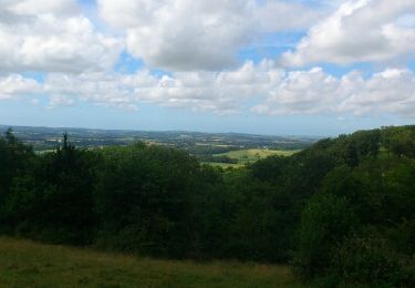
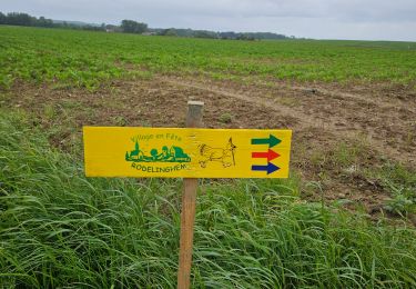
34 km | 38 km-effort
Bouquehault - Le sentier de Montgardin
jlmerlevede
User
Length
11.6 km
Max alt
190 m
Uphill gradient
179 m
Km-Effort
14 km
Min alt
58 m
Downhill gradient
180 m
Boucle
Yes
Creation date :
2019-05-03 14:35:41.224
Updated on :
2019-05-03 14:35:41.269
2h55
Difficulty : Unknown
FREE GPS app for hiking
About
Trail Walking of 11.6 km to be discovered at Hauts-de-France, Pas-de-Calais, Bouquehault. This trail is proposed by jlmerlevede.
Positioning
Country:
France
Region :
Hauts-de-France
Department/Province :
Pas-de-Calais
Municipality :
Bouquehault
Location:
Unknown
Start:(Dec)
Start:(UTM)
422996 ; 5631343 (31U) N.
Comments
Trails nearby
La chapelle St Louis variante
Cycle
Medium
(2)
Ardres,
Hauts-de-France,
Pas-de-Calais,
France
2h 15min
Yes
La Vallée Madame - Hermelinghen
Mountain bike
Medium
Hermelinghen,
Hauts-de-France,
Pas-de-Calais,
France
19.2 km | 22 km-effort
2h 30min
Yes
Le Cah-Licqu'Co - Licques
Walking
Difficult
Licques,
Hauts-de-France,
Pas-de-Calais,
France
12.3 km | 15.4 km-effort
3h 4min
Yes
Sentier entre les bois - Hermelinghen
Mountain bike
Medium
Hermelinghen,
Hauts-de-France,
Pas-de-Calais,
France
19.3 km | 23 km-effort
2h 0min
Yes
balade gourmande
Walking
Medium
Licques,
Hauts-de-France,
Pas-de-Calais,
France
48 km | 54 km-effort
7h 22min
No
mont ventu
Walking
Difficult
(1)
Alembon,
Hauts-de-France,
Pas-de-Calais,
France
11.3 km | 14.1 km-effort
3h 3min
Yes
sentier du camp du Drap d'Or
Walking
Easy
Campagne-lès-Guines,
Hauts-de-France,
Pas-de-Calais,
France
13.3 km | 15 km-effort
3h 9min
Yes
rando trail
Running
Medium
Bouquehault,
Hauts-de-France,
Pas-de-Calais,
France
34 km | 41 km-effort
4h 34min
No
rodelinghem 2024/06/02
Walking
Very difficult
Rodelinghem,
Hauts-de-France,
Pas-de-Calais,
France
16.1 km | 19 km-effort
3h 7min
Yes