


9.3 km | 11 km-effort


User


FREE GPS app for hiking
 SityTrail
IGN / Geographical institutes
SityTrail World
The world is yours!
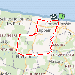
Trail Walking of 13.3 km to be discovered at Normandy, Calvados, Port-en-Bessin-Huppain. This trail is proposed by tracegps.
Très beau circuit par tous temps. Départ et Arrivée de Port en Bessin, port de pêche avec cafés restaurants boutique, montée sur les falaises et traversée du golf. Visite du Haras de Hetreham yearlings( petit détour) Retour par la campagne normande pommiers fermes etc.

Walking
Walking

Walking
Walking
Walking
Walking
Walking
Walking
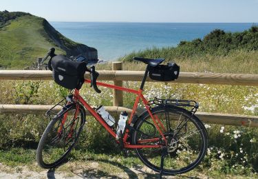
Hybrid bike
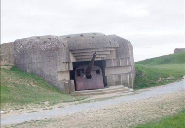
Beaucoup de route autour d'Etreham notamment. Nous n'avons pas osé prendre le chemin qui mène à la tour du baron au dessus de la D123 Merci tout de même 🙏
Hormis un passage sur la départementale, le trajet est fort agréable. Merci pour le tracé fourni.