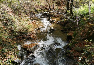
14.6 km | 23 km-effort
plancher bas MP
lacote
User
Length
18.4 km
Max alt
475 m
Uphill gradient
282 m
Km-Effort
22 km
Min alt
364 m
Downhill gradient
283 m
Boucle
Yes
Creation date :
2019-01-15 17:23:23.931
Updated on :
2019-01-15 17:23:23.931
3h21
Difficulty : Easy
FREE GPS app for hiking
About
Trail Walking of 18.4 km to be discovered at Bourgogne-Franche-Comté, Haute-Saône, Plancher-Bas. This trail is proposed by lacote.
Positioning
Country:
France
Region :
Bourgogne-Franche-Comté
Department/Province :
Haute-Saône
Municipality :
Plancher-Bas
Location:
Unknown
Start:(Dec)
Start:(UTM)
329910 ; 5287751 (32T) N.
Comments
Trails nearby
planche belles filles par auxelle haut
Walking
Medium
(3)
Auxelles-Haut,
Bourgogne-Franche-Comté,
Territoire-de-Belfort,
France
4h 55min
Yes
Plancher les mines - sentier des mines - croix du choléra - Planche des Belle...
Walking
Very difficult
Plancher-les-Mines,
Bourgogne-Franche-Comté,
Haute-Saône,
France
14.3 km | 25 km-effort
5h 38min
Yes
Canal souterrain de la Haute-Saône
Walking
Difficult
Champagney,
Bourgogne-Franche-Comté,
Haute-Saône,
France
10.1 km | 13.4 km-effort
3h 3min
Yes
Champagney - canal de la Haute-Saône - tunnel
Walking
Medium
Champagney,
Bourgogne-Franche-Comté,
Haute-Saône,
France
5.5 km | 7.5 km-effort
1h 10min
Yes
auxelles hauts
Walking
Medium
Auxelles-Haut,
Bourgogne-Franche-Comté,
Territoire-de-Belfort,
France
16 km | 27 km-effort
4h 20min
Yes
boucle auxelles-haut, super planche et étang des belles filles
Walking
Medium
Auxelles-Haut,
Bourgogne-Franche-Comté,
Territoire-de-Belfort,
France
15.2 km | 24 km-effort
4h 41min
Yes
06-02-22 Chevestraye-abbaye mont de vannes-route du Cugnot
4x4
Easy
Fresse,
Bourgogne-Franche-Comté,
Haute-Saône,
France
23 km | 30 km-effort
1h 15min
No
Andelnans-Auxelle haut
Electric bike
Medium
Lachapelle-sous-Chaux,
Bourgogne-Franche-Comté,
Territoire-de-Belfort,
France
35 km | 43 km-effort
2h 25min
No
Champagney
Walking
Medium
Champagney,
Bourgogne-Franche-Comté,
Haute-Saône,
France
7 km | 9.4 km-effort
2h 28min
Yes