


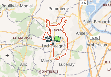

6.8 km | 8.4 km-effort


User


FREE GPS app for hiking
 SityTrail
IGN / Geographical institutes
SityTrail World
The world is yours!
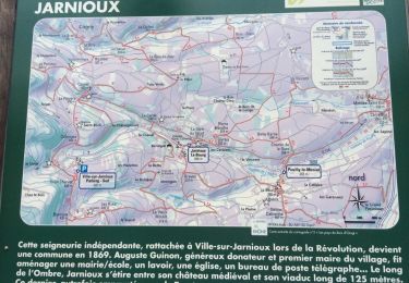
Trail Walking of 14.9 km to be discovered at Auvergne-Rhône-Alpes, Rhône, Lachassagne. This trail is proposed by Thomasdanielle.
D/A parking proche de l'école (15 km D. 400 m)
Nombreux passages dans les vignes, pas de balisage donc difficile de la refaire

Nordic walking

Walking
Walking

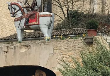
Horseback riding
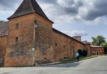
Walking

Walking
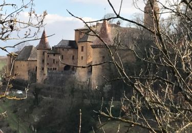
Walking
Walking
Walking