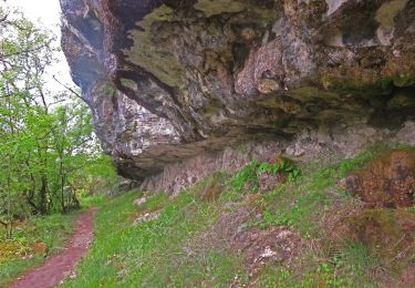
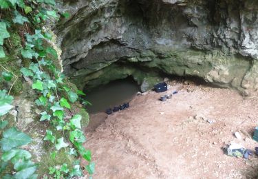
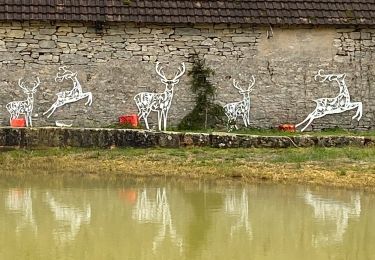
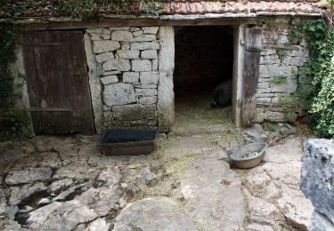
Trail Walking Espagnac-Sainte-Eulalie - Autour d'Espagnac Sainte Eulalie - Photo

Autour d'Espagnac Sainte Eulalie

 tracegps
tracegps

User

© OpenStreetMap contributors
Length
Length
14.4 km
Max alt
Max alt
406 m
Uphill gradient
Uphill gradient
419 m
Km-Effort
Km-Effort  
20 km
Min alt
Min alt
169 m
Downhill gradient
Downhill gradient
418 m
Boucle
Boucle
Yes
Creation date :
2014-12-10 00:00:00.0
Updated on :
2014-12-10 00:00:00.0

(0 Reviews)

Walking
Walking
4h00
Difficulty : Difficult

Scan this QR Code to open this trail in the SityTrail application

FREE GPS app for hiking

Logo SityTrail SityTrail

IGN / Geographical institutes

Download SityTrail from the App Store Download SityTrail from Google Play

Logo SityTrail SityTrail World

The world is yours!

Download SityTrail from the App Store Download SityTrail from Google Play Download SityTrail on Huawei AppGallery

About

Trail Walking of 14.4 km to be discovered at Occitania, Lot, Espagnac-Sainte-Eulalie. This trail is proposed by tracegps.

Description

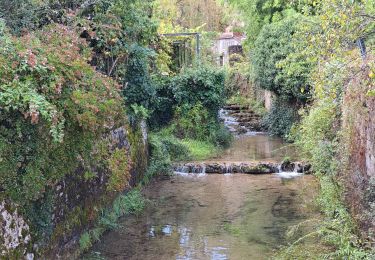
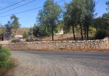
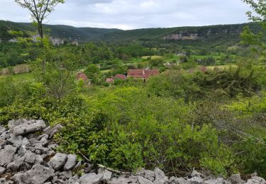
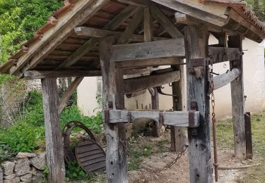
Le circuit part d'Espagnac sur les bords du Célé. Il monte sur le Causse et l'on pourra admirer de très beaux spécimens de l'architecture traditionnelle du Quercy. On redescend ensuite sur les bords du Célé et on suit la rive gauche qui ramène au point de départ. En chemin, les plus courageux pourront faire un détour pour voir l'Église de Sainte Eulalie qui date du Xème siècle. A la fin de la balade on n'oubliera pas de visiter le prieuré d'Espagnac dont on pourra admirer la belle tour-clocher.

Elevation profile

Positioning

Country:
France
Region :
Occitania
Department/Province :
Lot
Municipality :
Espagnac-Sainte-Eulalie
Location:
Unknown
Start:(UTM)
407972 ; 4938302 (31T) N.

Trails nearby

Trail Walking Brengues - brengues-7854558 - Photo
Walking
houbart

Walking

Difficult
(1)
Brengues, Occitania, Lot, France
11.9 km | 16.5 km-effort
3h 45min
Yes
Trail Walking Corn - Corn source bleue  - Photo
Walking
houbart

Walking

Difficult
(1)
Corn, Occitania, Lot, France
11.7 km | 16.3 km-effort
3h 42min
Yes
Trail Walking Espédaillac - Grezes Espedaillac Mas de l’artillou  - Photo
Walking
GUIDE
antignacs

Walking

Very easy
Espédaillac, Occitania, Lot, France
14.5 km | 17.1 km-effort
3h 22min
Yes
Trail On foot Espédaillac - Tour d'Espédaillac - Photo
On foot
GUIDE+

On foot

Easy
Espédaillac, Occitania, Lot, France
4.2 km | 5 km-effort
1h 8min
No
Trail Walking Saint-Sulpice - 2e étape St Sulpice Cabrenet - Photo
Walking
GUIDE
nadinebondoux

Walking

Difficult
Saint-Sulpice, Occitania, Lot, France
26 km | 37 km-effort
8h 7min
No
Trail Walking Espédaillac - Espedaillac 3 - Photo
Walking
GUIDE
antignacs

Walking

Difficult
Espédaillac, Occitania, Lot, France
10.3 km | 12.3 km-effort
2h 47min
Yes
Trail Walking Gréalou - grealou - Photo
Walking
Paulodst

Walking

Medium
Gréalou, Occitania, Lot, France
8.9 km | 11 km-effort
2h 28min
Yes
Trail Walking Corn - Le causse par lacoste - Photo
Walking
sebcar

Walking

Very easy
(1)
Corn, Occitania, Lot, France
8.4 km | 11.7 km-effort
2h 38min
Yes
Trail Walking Corn - Sainte Eulalie Crayssac - Photo
Walking
sebcar

Walking

Very easy
Corn, Occitania, Lot, France
11.7 km | 16.6 km-effort
3h 31min
Yes


Close
My subscriptions