


20 km | 34 km-effort

User


FREE GPS app for hiking
 SityTrail
IGN / Geographical institutes
SityTrail World
The world is yours!
Trail Mountain bike of 18.9 km to be discovered at Grand Est, Haut-Rhin, Ribeauvillé. This trail is proposed by tracegps.
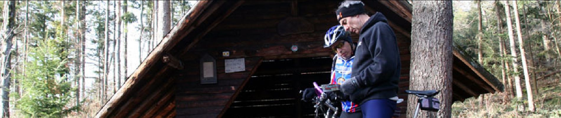
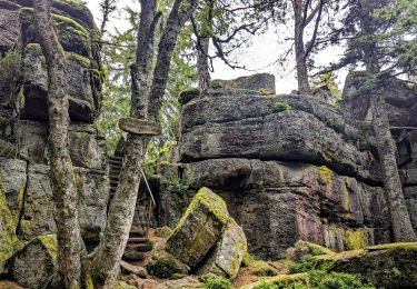
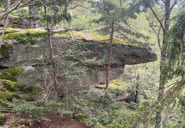
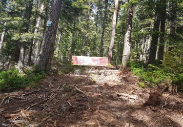
Espace VTT FFC Val d'Argent - Circuit n°9 - Tour du Taennchel Circuit officiel labellisé par la Fédération Française de Cyclisme. Départ du Col du Haut de Ribeauvillé, parking à 100m (742m). Un circuit très varié aux difficultés peu nombreuses et bien dosées, tracé à flanc de montagne entre 600 et 800 m, autour du massif protégé du Taennchel, haut lieu de légendes et peuplé de rochers aux formes étranges et mystérieuses. On surplombe le Val d'Argent et la plaine d'Alsace avec quelques belles échappées sur le lointain.

Walking

Horseback riding

Horseback riding

Walking

sport
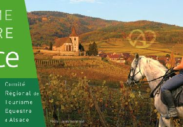
Horseback riding

Walking
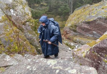
Walking
Walking