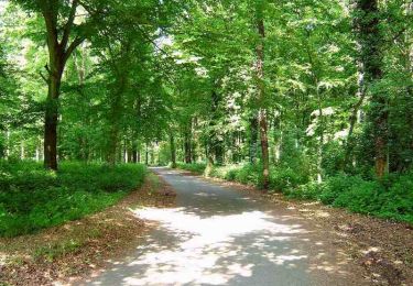
156 km | 179 km-effort
telethon 2018
association
User
Length
141 km
Max alt
245 m
Uphill gradient
1606 m
Km-Effort
162 km
Min alt
96 m
Downhill gradient
1601 m
Boucle
No
Creation date :
2019-01-15 17:19:32.518
Updated on :
2019-01-15 17:19:32.518
6h00
Difficulty : Unknown
FREE GPS app for hiking
About
Trail Other activity of 141 km to be discovered at Hauts-de-France, Somme, Lignières-Châtelain. This trail is proposed by association.
Positioning
Country:
France
Region :
Hauts-de-France
Department/Province :
Somme
Municipality :
Lignières-Châtelain
Location:
Unknown
Start:(Dec)
Start:(UTM)
418437 ; 5514202 (31U) N.
Comments
Trails nearby
Thieulloy la Ville
Walking
Medium
Thieulloy-la-Ville,
Hauts-de-France,
Somme,
France
16.3 km | 19.6 km-effort
4h 22min
Yes
Le Circuit de Sainte Segrée - Thieulloy-la-Ville
Walking
Medium
(1)
Thieulloy-la-Ville,
Hauts-de-France,
Somme,
France
9.4 km | 11.6 km-effort
2h 19min
Yes
frettemolle Souplicourt
Running
Very easy
Hescamps,
Hauts-de-France,
Somme,
France
3.1 km | 3.9 km-effort
30min
Yes
RESTAURANT LE COQ GAULOIS - HOTEL LES CAPUCINES - ETAPE 2 55KM / 570D+
Mountain bike
Medium
Morvillers-Saint-Saturnin,
Hauts-de-France,
Somme,
France
54 km | 64 km-effort
4h 10min
No