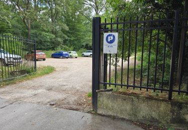
16 km | 17.9 km-effort
Lisses Mt St Michel
chouk1
User
Length
396 km
Max alt
341 m
Uphill gradient
3469 m
Km-Effort
443 km
Min alt
4 m
Downhill gradient
3534 m
Boucle
No
Creation date :
2019-01-15 17:17:16.09
Updated on :
2019-01-15 17:17:16.09
--
Difficulty : Easy
FREE GPS app for hiking
About
Trail Mountain bike of 396 km to be discovered at Ile-de-France, Essonne, Évry-Courcouronnes. This trail is proposed by chouk1.
Positioning
Country:
France
Region :
Ile-de-France
Department/Province :
Essonne
Municipality :
Évry-Courcouronnes
Location:
Courcouronnes
Start:(Dec)
Start:(UTM)
455985 ; 5384451 (31U) N.
Comments
Trails nearby
Sénart arbres remarquables 1/2
Walking
Easy
(1)
Soisy-sur-Seine,
Ile-de-France,
Essonne,
France
12.2 km | 13.1 km-effort
2h 55min
Yes
rando "sec" dimanche 07/02/2021
Mountain bike
Easy
(1)
Bondoufle,
Ile-de-France,
Essonne,
France
56 km | 63 km-effort
8min
Yes
Senart
Mountain bike
Very difficult
(1)
Bondoufle,
Ile-de-France,
Essonne,
France
46 km | 52 km-effort
3h 30min
Yes
Sortie club du 29/09/2019
Mountain bike
Difficult
(1)
Bondoufle,
Ile-de-France,
Essonne,
France
32 km | 36 km-effort
2h 25min
Yes
Fleury-Mérogis - Forêt Régionale de Saint-Eutrope
Walking
Easy
Fleury-Mérogis,
Ile-de-France,
Essonne,
France
6.3 km | 7 km-effort
1h 35min
Yes
Boucle Soisy / Seine / Sénart
On foot
Very easy
Soisy-sur-Seine,
Ile-de-France,
Essonne,
France
18.6 km | 21 km-effort
4h 49min
Yes
De Mennecy à Corbeil-Essonnes par le Parc de Robinson
sport
Very easy
(1)
Mennecy,
Ile-de-France,
Essonne,
France
13.1 km | 14.6 km-effort
Unknown
No
Escapade entre Seine et Sénart
On foot
Easy
Étiolles,
Ile-de-France,
Essonne,
France
9.1 km | 10.3 km-effort
2h 21min
No