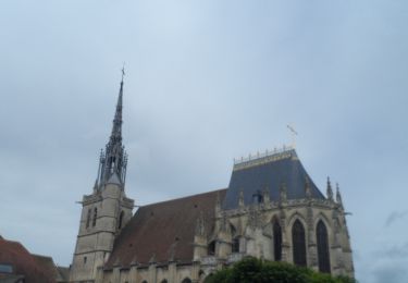
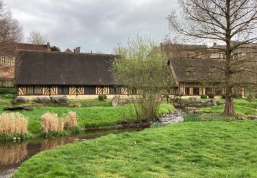
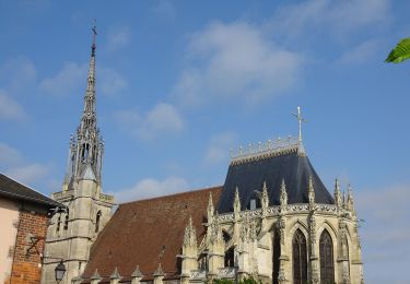
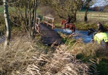
Trail Mountain bike Conches-en-Ouche - Rando les Chemins Conchois 2010 - Photo

Rando les Chemins Conchois 2010

 tracegps
tracegps

User

© OpenStreetMap contributors
Length
Length
43 km
Max alt
Max alt
166 m
Uphill gradient
Uphill gradient
777 m
Km-Effort
Km-Effort  
53 km
Min alt
Min alt
86 m
Downhill gradient
Downhill gradient
777 m
Boucle
Boucle
Yes
Creation date :
2014-12-10 00:00:00.0
Updated on :
2014-12-10 00:00:00.0

(2 Reviews)

Mountain bike
Mountain bike
4h00
Difficulty : Difficult

Scan this QR Code to open this trail in the SityTrail application

FREE GPS app for hiking

Logo SityTrail SityTrail

IGN / Geographical institutes

Download SityTrail from the App Store Download SityTrail from Google Play

Logo SityTrail SityTrail World

The world is yours!

Download SityTrail from the App Store Download SityTrail from Google Play Download SityTrail on Huawei AppGallery

About

Trail Mountain bike of 43 km to be discovered at Normandy, Eure, Conches-en-Ouche. This trail is proposed by tracegps.

Elevation profile

Positioning

Country:
France
Region :
Normandy
Department/Province :
Eure
Municipality :
Conches-en-Ouche
Location:
Unknown
Start:(UTM)
349271 ; 5424331 (31U) N.

Comments

Please log in to post a review or rate the element


apparemment un seul peut être ouvert à la fois, plusieurs seraient intéressant?


Circuit difficile a suivre sans, en permanence avoir la tête sur le téléphone . Les chemins sont souvent barré par des arbres tombes ou des branches au sol volontairement misent en travers. Pas de grosse difficulté si ce n est les gros silex au sol qui cisaillent les pneus . Très fréquent dans le bas de du circuit ou dans les descentes


Trails nearby

Trail Walking Conches-en-Ouche - 20220609-Conches en Ouches - Photo
Walking
doudet

Walking

Medium
Conches-en-Ouche, Normandy, Eure, France
21 km | 24 km-effort
5h 35min
Yes
Trail Walking Nagel-Séez-Mesnil - 2020_02_21_Circuit de Nagel - Photo
Walking
jeanlucien

Walking

Easy
(1)
Nagel-Séez-Mesnil, Normandy, Eure, France
11 km | 12.4 km-effort
2h 20min
Yes
Trail Walking Conches-en-Ouche - conches - Photo
Walking
doudet

Walking

Very easy
(1)
Conches-en-Ouche, Normandy, Eure, France
13.9 km | 16.6 km-effort
Unknown
Yes
Trail Walking Conches-en-Ouche - La vallée de rouloir - Photo
Walking
serleb

Walking

Easy
Conches-en-Ouche, Normandy, Eure, France
11.6 km | 13.8 km-effort
3h 23min
Yes
Trail On foot Conches-en-Ouche - Conches en Ouche - Photo
On foot
Laurent53

On foot

Easy
Conches-en-Ouche, Normandy, Eure, France
21 km | 25 km-effort
Unknown
Yes
Trail Mountain bike Conches-en-Ouche - conches-ferrière sur risles - Photo
Mountain bike
fredtruc27

Mountain bike

Easy
Conches-en-Ouche, Normandy, Eure, France
47 km | 53 km-effort
3h 26min
Yes
Trail Mountain bike Conches-en-Ouche - conches-ferrière sur risles - Photo
Mountain bike
fredtruc27

Mountain bike

Easy
Conches-en-Ouche, Normandy, Eure, France
47 km | 53 km-effort
3h 26min
Yes
Trail Equestrian La Croisille - les boscherons  - Photo
Equestrian
minichou

Equestrian

Easy
La Croisille, Normandy, Eure, France
18 km | 22 km-effort
2h 22min
Yes
Trail Walking Conches-en-Ouche - Conches en Ouche, Chanteloup, Collandres,vieux Conches 24 kms - Photo
Walking
Marie-Claire-mcp

Walking

Very difficult
Conches-en-Ouche, Normandy, Eure, France
24 km | 27 km-effort
6h 7min
Yes


Close
My subscriptions