11 km | 14.5 km-effort
Tellancourt 04 10 18
patdecosnes
User
Length
10.1 km
Max alt
401 m
Uphill gradient
234 m
Km-Effort
13.2 km
Min alt
227 m
Downhill gradient
238 m
Boucle
Yes
Creation date :
2019-04-30 18:14:59.485
Updated on :
2019-04-30 18:14:59.546
2h47
Difficulty : Easy
FREE GPS app for hiking
About
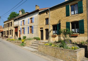
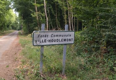
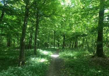
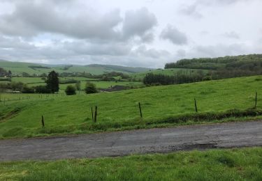
Trail Walking of 10.1 km to be discovered at Grand Est, Meurthe-et-Moselle, Tellancourt. This trail is proposed by patdecosnes.
Description
club vosgien longuyon
Positioning
Country:
France
Region :
Grand Est
Department/Province :
Meurthe-et-Moselle
Municipality :
Tellancourt
Location:
Unknown
Start:(Dec)
Start:(UTM)
690577 ; 5487475 (31U) N.
Comments
Trails nearby
Saint-Denis 1
Walking
Medium
Cosnes-et-Romain,
Grand Est,
Meurthe-et-Moselle,
France
7.4 km | 9.6 km-effort
1h 25min
No
Tour de la forêt des Monts.
Walking
Very difficult
(1)
Musson,
Wallonia,
Luxembourg,
Belgium
21 km | 28 km-effort
5h 28min
Yes
Chemin des Minières
Walking
Medium
Saint-Pancré,
Grand Est,
Meurthe-et-Moselle,
France
8.1 km | 9.7 km-effort
2h 15min
Yes
Villette 19-05-23
Walking
Easy
Villette,
Grand Est,
Meurthe-et-Moselle,
France
3.9 km | 4.4 km-effort
59min
Yes
Mesurage 9716
Camping car
Very easy
Virton,
Wallonia,
Luxembourg,
Belgium
146 km | 169 km-effort
3h 54min
Yes
Balade 2
Walking
Easy
Ville-Houdlémont,
Grand Est,
Meurthe-et-Moselle,
France
558 m | 728 m-effort
27min
No
La Charmouthienne_boucle_Gomery_15 km_2019-04-28
Walking
Virton,
Wallonia,
Luxembourg,
Belgium
15 km | 18.9 km-effort
4h 23min
Yes
fresnois 24.10.2024
On foot
Easy
Fresnois-la-Montagne,
Grand Est,
Meurthe-et-Moselle,
France
7.8 km | 9.7 km-effort
2h 12min
Yes