


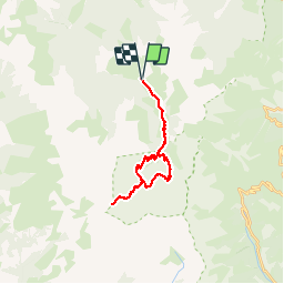


15.5 km | 24 km-effort


User


FREE GPS app for hiking
 SityTrail
IGN / Geographical institutes
SityTrail World
The world is yours!
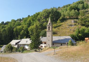
Trail Walking of 27 km to be discovered at Provence-Alpes-Côte d'Azur, Alpes-de-Haute-Provence, Méolans-Revel. This trail is proposed by Dervalmarc.
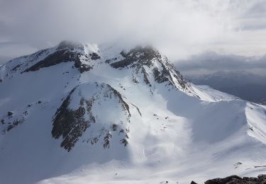
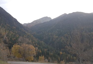
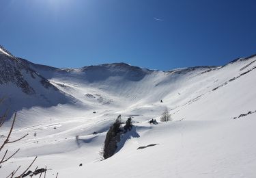
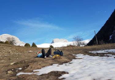
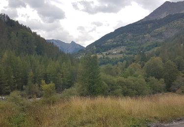
Randonnée difficile en raison de la longueur et du dénivellé.
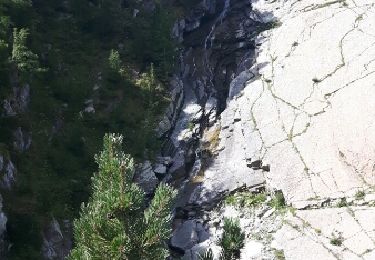
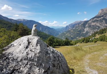
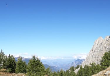
Superbe ballade aux paysages trés divers.
Faune et flore très riche.


Walking
Walking
Walking
Touring skiing
Walking
Touring skiing
Walking
Snowshoes
Walking