


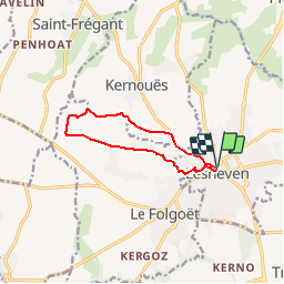

13 km | 14.6 km-effort


User


FREE GPS app for hiking
 SityTrail
IGN / Geographical institutes
SityTrail World
The world is yours!
Trail Mountain bike of 8.6 km to be discovered at Brittany, Finistère, Lesneven. This trail is proposed by tracegps.
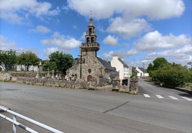
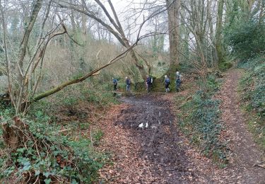
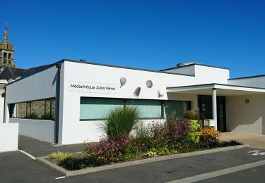
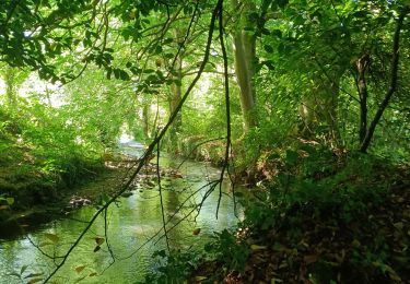
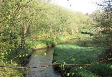
Depuis la place du Maréchal Foch de Lesneven direction la caserne des pompier puis Kernoues en bifurquant sur la gauche en direction de la vallée boisée puis remontée vers des chemins creux d'un paysage bocager avant le retour vers de doux chemin communaux.
Nordic walking
Nordic walking
On foot
On foot
Nordic walking
Walking

Walking

Running