


9.6 km | 15.6 km-effort

User


FREE GPS app for hiking
 SityTrail
IGN / Geographical institutes
SityTrail World
The world is yours!
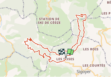
Trail Mountain bike of 23 km to be discovered at Provence-Alpes-Côte d'Azur, Hautes-Alpes, Sigoyer. This trail is proposed by tracegps.
Superbe parcours au pied des falaises de Ceüze dans le Gapençais. Itinéraire permettant de découvrir de magnifiques paysages (vallée de Tallard - Gapençais)


Walking

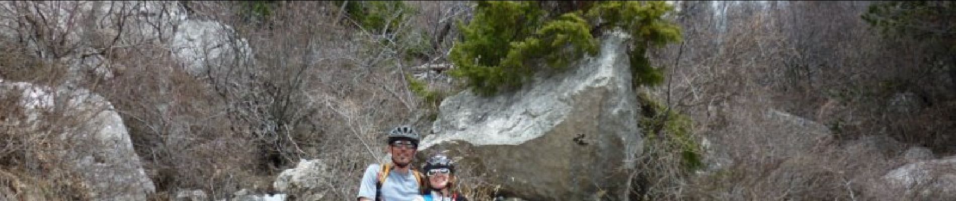
Mountain bike

Mountain bike

Trail

Walking

Walking

Walking
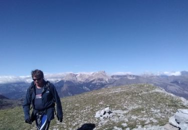
Walking
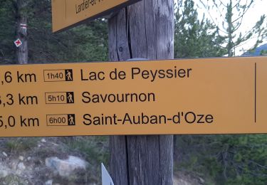
Walking