


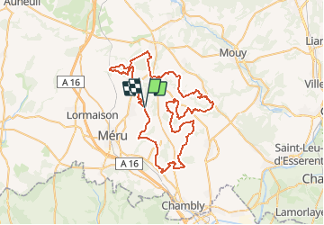

11.2 km | 13.2 km-effort


User


FREE GPS app for hiking
 SityTrail
IGN / Geographical institutes
SityTrail World
The world is yours!
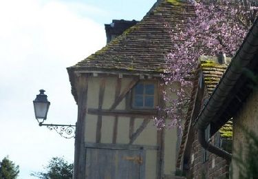
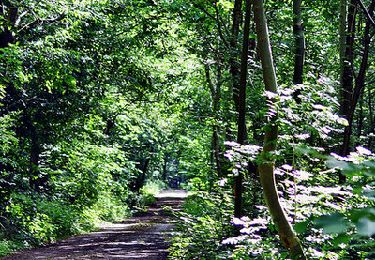
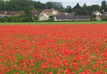
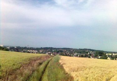
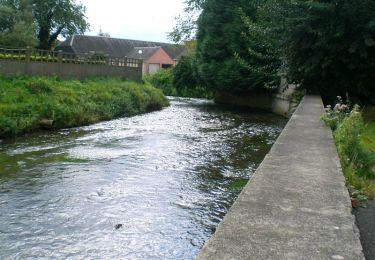
Trail Mountain bike of 70 km to be discovered at Hauts-de-France, Oise, Mortefontaine-en-Thelle. This trail is proposed by tracegps.
Voici le parcours de 70km proposé par le vtt club de Mortefontaine en Thelle. Parcours roulant par temps sec avec beaucoup de dénivelé pour la région.
Walking


sport
Mountain bike
Mountain bike
Mountain bike
Mountain bike
Mountain bike
Mountain bike