


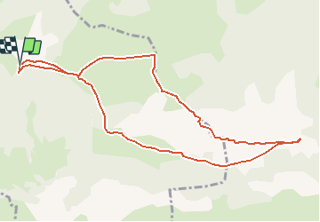

12.2 km | 25 km-effort

User


FREE GPS app for hiking
 SityTrail
IGN / Geographical institutes
SityTrail World
The world is yours!
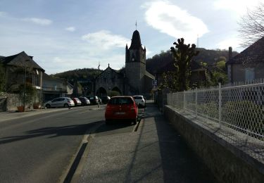
Trail Walking of 11.1 km to be discovered at New Aquitaine, Pyrénées-Atlantiques, Castet. This trail is proposed by tracegps.
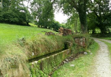
Le circuit se déroule en grande partie sur une crête facile Qui ne nécessite pas de poser les mains. Au départ de la randonnée, plutôt que de traverser la partie boisée, il vaut mieux la contourner de manière à aller rejoindre la crête en lisière du bois.


Walking

On foot

On foot

On foot
On foot
Walking
Walking
Walking

Mountain bike