


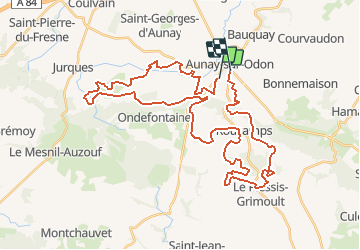

26 km | 33 km-effort


User


FREE GPS app for hiking
 SityTrail
IGN / Geographical institutes
SityTrail World
The world is yours!
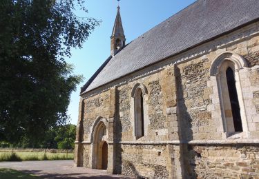
Trail Mountain bike of 43 km to be discovered at Normandy, Calvados, Les Monts d'Aunay. This trail is proposed by tracegps.
Parcours des 48km. La plus belle rando (avec le raid de pont d'Ouilly) que j'ai faite!!! Alliant technique et ludique; belles montées , superbes descentes, singles en veux tu en voila!!! A faire au moins une fois dans sa vie de vttiste.

Mountain bike
Walking
Mountain bike
Mountain bike

On foot
On foot

Walking

On foot
On foot