


4.5 km | 5.7 km-effort

User


FREE GPS app for hiking
 SityTrail
IGN / Geographical institutes
SityTrail World
The world is yours!
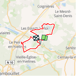
Trail Walking of 23 km to be discovered at Ile-de-France, Yvelines, Auffargis. This trail is proposed by tracegps.
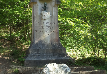
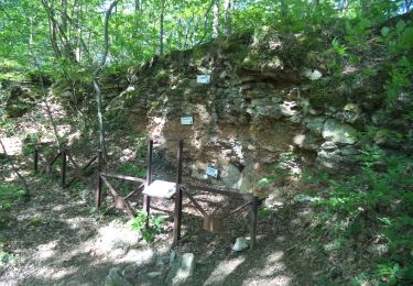
Cet itinéraire relie la vallée des Vaux de Cernay aux sources de l'Yvette via l'étang du Perray, Auffargis et son château, les Essarts le Roi et les Petites Molières.


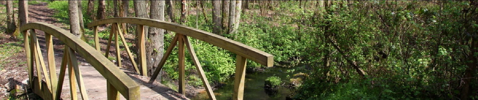
Walking
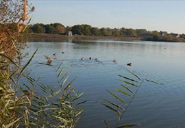
Walking
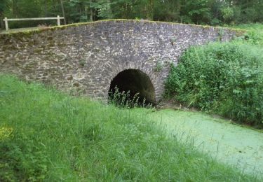
Walking

Walking

Walking
Walking
Walking

Walking
Walking