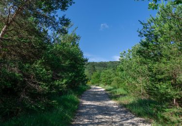
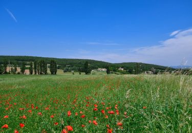
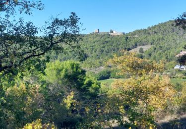
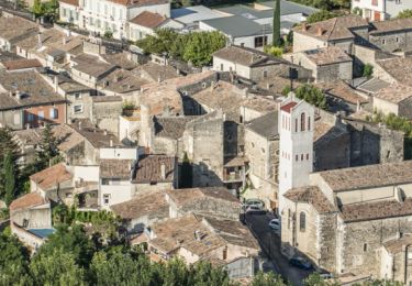
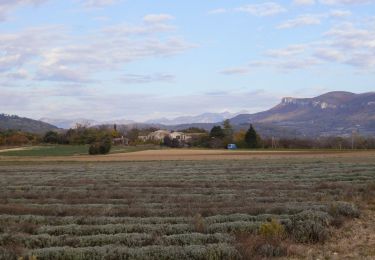
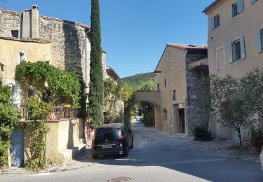
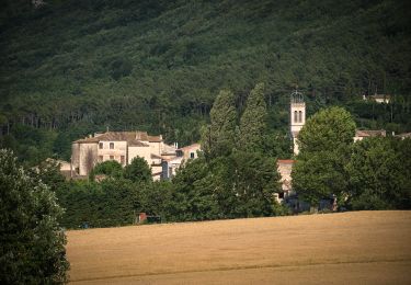
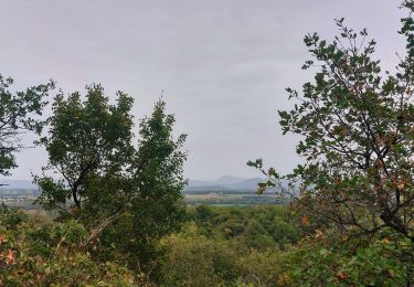
Trail Mountain bike Puygiron - Puygiron VTT n°5 - Photo
 tracegps
tracegps

User

© OpenStreetMap contributors
Length
Length
47 km
Max alt
Max alt
448 m
Uphill gradient
Uphill gradient
1027 m
Km-Effort
Km-Effort  
60 km
Min alt
Min alt
127 m
Downhill gradient
Downhill gradient
1027 m
Boucle
Boucle
Yes
Creation date :
2014-12-10 00:00:00.0
Updated on :
2014-12-10 00:00:00.0

(1 Reviews)

Mountain bike
Mountain bike
3h00
Difficulty : Very difficult

Scan this QR Code to open this trail in the SityTrail application

FREE GPS app for hiking

Logo SityTrail SityTrail

IGN / Geographical institutes

Download SityTrail from the App Store Download SityTrail from Google Play

Logo SityTrail SityTrail World

The world is yours!

Download SityTrail from the App Store Download SityTrail from Google Play Download SityTrail on Huawei AppGallery

About

Trail Mountain bike of 47 km to be discovered at Auvergne-Rhône-Alpes, Drôme, Puygiron. This trail is proposed by tracegps.

Description

Voici un très beau parcours. Il est nécessaire d'avoir une bonne condition physique pour le réaliser. Il est très varié, chemin très roulant, chemin cailloutés, single track. Vous pouvez vous aider du tracé, et également des balises FFCT N°5. Par contre à certains endroits le tracé est relativement perfectible. Au risque de me répéter, c'est un très beau parcours dans la Drôme provençale. Pour l'été, je vous conseille de partir de bonne heure pour éviter la chaleur sur le plateau. Bonne randonnée à tous

Elevation profile

Photos

Positioning

Country:
France
Region :
Auvergne-Rhône-Alpes
Department/Province :
Drôme
Municipality :
Puygiron
Location:
Unknown
Start:(UTM)
646796 ; 4933720 (31T) N.

Comments

Please log in to post a review or rate the element


Trails nearby

Trail Walking Espeluche - 2022-10-20_15h14m37_GPX-Bois-Jamot-Espeluche - Photo
Walking
GUIDE
chancha

Walking

Medium
(1)
Espeluche, Auvergne-Rhône-Alpes, Drôme, France
11.3 km | 15.4 km-effort
3h 28min
Yes
Trail Walking Portes-en-Valdaine - 2022-10-01_17h32m32_13243364-1 - Photo
Walking
GUIDE
chancha

Walking

Medium
(1)
Portes-en-Valdaine, Auvergne-Rhône-Alpes, Drôme, France
9.8 km | 13.6 km-effort
3h 2min
Yes
Trail Walking Rochefort-en-Valdaine - Rochefort-en-Valdaine  Le Janeston 7km5 - Photo
Walking
GUIDE
chancha

Walking

Medium
(1)
Rochefort-en-Valdaine, Auvergne-Rhône-Alpes, Drôme, France
7.3 km | 10.3 km-effort
2h 23min
Yes
Trail Walking Saint-Gervais-sur-Roubion - 2022-10-01_17h25m59_GPX-Moutette-St-Rome-STGervais - Photo
Walking
GUIDE
chancha

Walking

Medium
(1)
Saint-Gervais-sur-Roubion, Auvergne-Rhône-Alpes, Drôme, France
9.9 km | 11.9 km-effort
2h 43min
Yes
Trail Walking Portes-en-Valdaine - GPX-Rando-Plaine-Portoise-nouvelleversion - Photo
Walking
GUIDE
thonyc

Walking

Easy
(1)
Portes-en-Valdaine, Auvergne-Rhône-Alpes, Drôme, France
7.1 km | 8.2 km-effort
2h 0min
Yes
Trail Walking Allan - allan transclavienne rac - Photo
Walking
micheleuvrard

Walking

Very easy
(1)
Allan, Auvergne-Rhône-Alpes, Drôme, France
19.1 km | 26 km-effort
5h 11min
Yes
Trail Walking La Touche - La Touche Crêtes de l'ysard 12km. - Photo
Walking
GUIDE
chancha

Walking

Difficult
(1)
La Touche, Auvergne-Rhône-Alpes, Drôme, France
12.1 km | 16.8 km-effort
3h 48min
Yes
Trail Walking La Touche - La Touche : Les Citelles et Serre Pointu 12km - Photo
Walking
GUIDE
chancha

Walking

Difficult
La Touche, Auvergne-Rhône-Alpes, Drôme, France
12 km | 16.6 km-effort
4h 3min
Yes
Trail Walking La Touche - La Touche Mastaize 9km - Photo
Walking
GUIDE
chancha

Walking

Difficult
La Touche, Auvergne-Rhône-Alpes, Drôme, France
8.6 km | 10.7 km-effort
3h 24min
Yes


Close
My subscriptions