


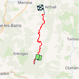

13.1 km | 22 km-effort


User


FREE GPS app for hiking
 SityTrail
IGN / Geographical institutes
SityTrail World
The world is yours!
Trail Mountain bike of 15.1 km to be discovered at Provence-Alpes-Côte d'Azur, Alpes-de-Haute-Provence, Chaudon-Norante. This trail is proposed by tracegps.
Grande Traversée des Préalpes, les Chemins du Soleil. Parcours officiel labellisé par la Fédération Française de Cyclisme. Vous voici au départ d’une étape plutôt reposante et agréable à parcourir. Du col de Pierre Basse vous descendrez un sentier légèrement technique pour récupérer un large chemin menant à des villages perchés. Au fur et à mesure de votre épopée, vous découvrirez la Hêtraie du Défens (zone protégée) de la forêt domaniale de Haute Bléone. Ouvrez bien les yeux car cette étape se termine sur les vestiges d’une des maisons forestières abritant les bûcherons de l’époque. Consultez toutes les informations sur les hébergements et les services associés sur la fiche du tronçon.
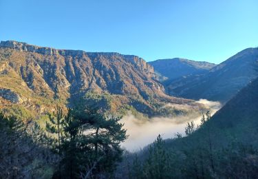
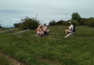
 - Photo 1")
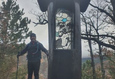
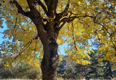
 - Photo 2")
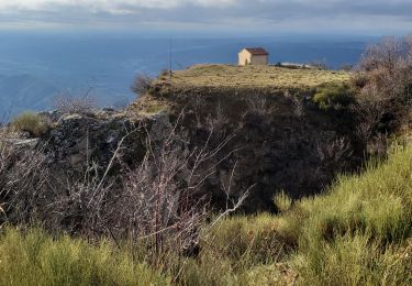
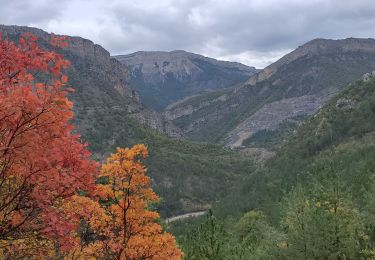
 - Photo 3")
Walking

Walking
Walking
Walking

Walking
Walking
Walking
Walking
Walking