


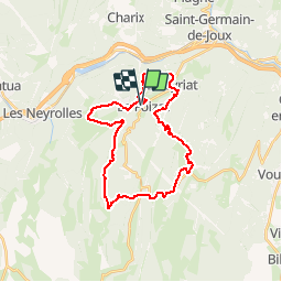

7.6 km | 9.6 km-effort

User


FREE GPS app for hiking
 SityTrail
IGN / Geographical institutes
SityTrail World
The world is yours!
Trail Mountain bike of 28 km to be discovered at Auvergne-Rhône-Alpes, Ain, Le Poizat-Lalleyriat. This trail is proposed by tracegps.
Espace VTT - FFC du Bugey - circuit n° 08. Circuit labellisé par la Fédération Française de Cyclisme. Au cœur du département de l'Ain, sur les terres du Haut-Bugey, le Plateau d'Hauteville offre une situation privilégiée. Ce Plateau de moyenne montagne offre une qualité de vie véritablement exceptionnelle, l'air pur, la nature généreuse, les bienfaits climatiques, les paysages variés, la végétation préservée étonnent... Les grandes agglomérations de Lyon, Genève, Annecy, Aix-les-Bains, Bourg-en-Bresse et Chambéry sont à une heure !


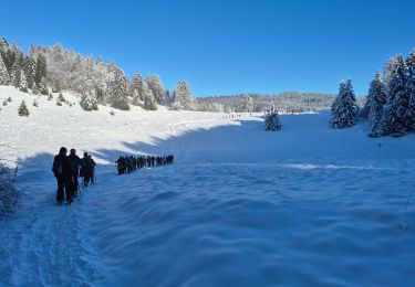
Snowshoes

Walking
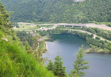
Walking
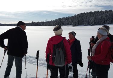
Snowshoes
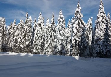
Snowshoes
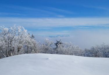
Snowshoes
Walking
Walking
Walking