


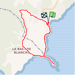

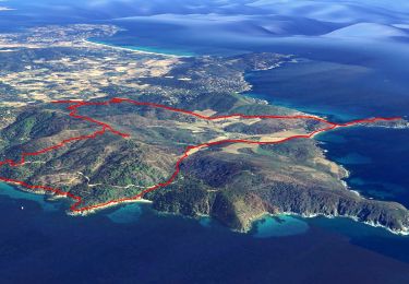
15.2 km | 20 km-effort


User GUIDE


FREE GPS app for hiking
 SityTrail
IGN / Geographical institutes
SityTrail World
The world is yours!
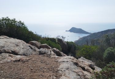
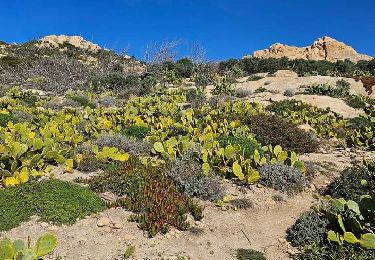
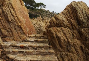
Trail Walking of 8.5 km to be discovered at Provence-Alpes-Côte d'Azur, Var, Ramatuelle. This trail is proposed by lhomme.ph.
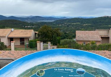
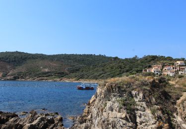
Cette promenade sur le sentier des douaniers donne l'occasion de constater l'incroyable résilience de la nature méditerranéenne, qui se remet de l'incendie de 2017
On foot
Electric bike
Electric bike
Walking

Mountain bike

Walking
Walking
Walking
Walking