


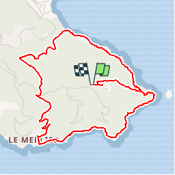

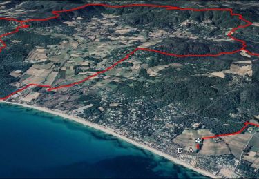
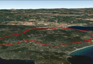
13.2 km | 15.6 km-effort


User GUIDE


FREE GPS app for hiking
 SityTrail
IGN / Geographical institutes
SityTrail World
The world is yours!
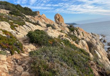
Trail Walking of 6.5 km to be discovered at Provence-Alpes-Côte d'Azur, Var, Ramatuelle. This trail is proposed by lhomme.ph.
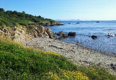
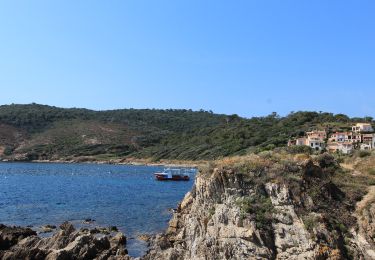
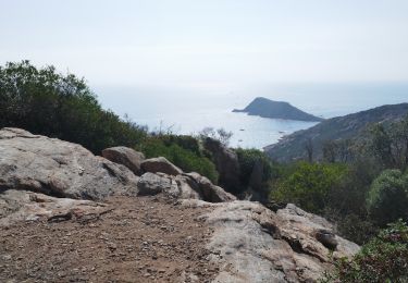
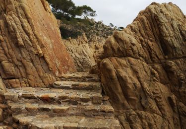
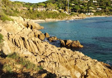
Une balade tout en senteurs et en couleurs, entre falaises et mer, avec un contraste saisissant entre l'exubérance de la végétation et la nudité minérale du cap.
Walking

Mountain bike
Walking
Walking
Electric bike
Walking
Walking
Mountain bike
Walking