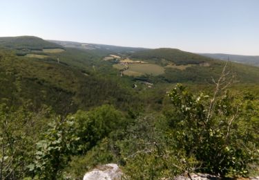
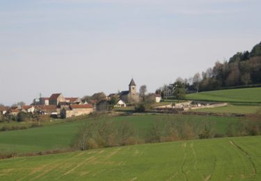
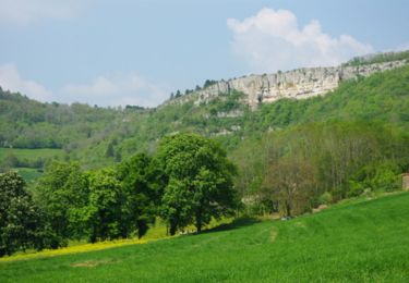
Trail Walking Mâlain - Mâlain - Charmoy - Baulme le Roche - Photo

Mâlain - Charmoy - Baulme le Roche

 tracegps
tracegps

User

© OpenStreetMap contributors
Length
Length
15.3 km
Max alt
Max alt
606 m
Uphill gradient
Uphill gradient
426 m
Km-Effort
Km-Effort  
21 km
Min alt
Min alt
326 m
Downhill gradient
Downhill gradient
432 m
Boucle
Boucle
Yes
Creation date :
2014-12-10 00:00:00.0
Updated on :
2014-12-10 00:00:00.0

(3 Reviews)

Walking
Walking
3h30
Difficulty : Medium

Scan this QR Code to open this trail in the SityTrail application

FREE GPS app for hiking

Logo SityTrail SityTrail

IGN / Geographical institutes

Download SityTrail from the App Store Download SityTrail from Google Play

Logo SityTrail SityTrail World

The world is yours!

Download SityTrail from the App Store Download SityTrail from Google Play Download SityTrail on Huawei AppGallery

About

Trail Walking of 15.3 km to be discovered at Bourgogne-Franche-Comté, Côte-d'Or, Mâlain. This trail is proposed by tracegps.

Description

Mâlain - Charmoy - Baulme le Roche Rando en boucle de 15,5 km, au départ de Mâlain. Stationnement dans le village Une randonnée du Club Alpin Français de l'Ouest Dijonnais. « Si tu veux aller un peu plus loin, avec le CAFOD tu feras des randonnées pas comme les autres» ! Avertissement : Les itinéraires mentionnés ici ne sont pas vérifiés (droit de passage, accidents de terrain, etc...). Par conséquent, il convient avant le départ de se renseigner sur la faisabilité du circuit envisagé.

Elevation profile

Photos

Positioning

Country:
France
Region :
Bourgogne-Franche-Comté
Department/Province :
Côte-d'Or
Municipality :
Mâlain
Location:
Unknown
Start:(UTM)
635644 ; 5243090 (31T) N.

Comments

Please log in to post a review or rate the element


végétation côté château, bcq de route sur arrivée


Cette application paraît excellente. au premier abord.....je re préciserais mon point de vue après utilisation un situ


tres bonne appli au prix raisonnable...detailler les pistes cyclables serait bien..


Trails nearby

Trail Walking Sainte-Marie-sur-Ouche - Pont de Pany - Photo
Walking
hueco

Walking

Easy
(1)
Sainte-Marie-sur-Ouche, Bourgogne-Franche-Comté, Côte-d'Or, France
11.4 km | 16 km-effort
3h 19min
Yes
Trail Walking Sainte-Marie-sur-Ouche - Belvédères sur la vallée de l'Ouche - Pont de Pany - Photo
Walking
tracegps

Walking

Difficult
(1)
Sainte-Marie-sur-Ouche, Bourgogne-Franche-Comté, Côte-d'Or, France
20 km | 28 km-effort
6h 0min
Yes
Trail Walking Fleurey-sur-Ouche - Le Marathon de Fleurey sur Ouche - Photo
Walking
tracegps

Walking

Very difficult
(1)
Fleurey-sur-Ouche, Bourgogne-Franche-Comté, Côte-d'Or, France
40 km | 54 km-effort
10h 0min
Yes
Trail Electric bike Sainte-Marie-sur-Ouche - Canal de Bourgogne_Etape 6 - Photo
Electric bike
mimi53

Electric bike

Very easy
(1)
Sainte-Marie-sur-Ouche, Bourgogne-Franche-Comté, Côte-d'Or, France
22 km | 23 km-effort
Unknown
No
Trail On foot Mâlain - Sentier du Mâlain - Photo
On foot
GUIDE+

On foot

Easy
Mâlain, Bourgogne-Franche-Comté, Côte-d'Or, France
6.6 km | 10.5 km-effort
2h 22min
Yes
Trail On foot Fleurey-sur-Ouche - Sentier des Roches d'Orgères - Photo
On foot
GUIDE+

On foot

Easy
Fleurey-sur-Ouche, Bourgogne-Franche-Comté, Côte-d'Or, France
4.2 km | 4.8 km-effort
1h 4min
Yes
Trail Walking Fleurey-sur-Ouche - Fleurey/lantenay - Photo
Walking
eric.guyard21

Walking

Difficult
Fleurey-sur-Ouche, Bourgogne-Franche-Comté, Côte-d'Or, France
14.4 km | 19.4 km-effort
3h 21min
Yes
Trail Walking Fleurey-sur-Ouche - fleurey mammouth loups - Photo
Walking
florianlive

Walking

Medium
(2)
Fleurey-sur-Ouche, Bourgogne-Franche-Comté, Côte-d'Or, France
19.4 km | 26 km-effort
5h 46min
Yes
Trail Walking Ancey - ancey-pange - Photo
Walking
ludojiel

Walking

Easy
(2)
Ancey, Bourgogne-Franche-Comté, Côte-d'Or, France
14.5 km | 19 km-effort
3h 30min
No


Close
My subscriptions