


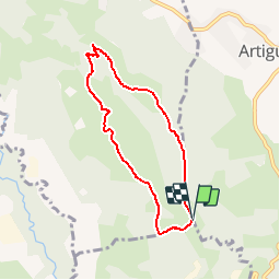

7.6 km | 8.6 km-effort


User


FREE GPS app for hiking
 SityTrail
IGN / Geographical institutes
SityTrail World
The world is yours!
Trail Walking of 6.5 km to be discovered at New Aquitaine, Pyrénées-Atlantiques, Arbus. This trail is proposed by tracegps.
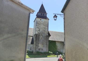
Petite balade facile que l'on peut faire en 1h pour les plus sportifs. Mais si l'on veut s'attarder un peu pour contempler le superbe panorama des Pyrénées, allant du Pic du Midi de Bigorre jusqu'aux sommets les plus à l'ouest, il est sage de prévoir un peu plus de temps. La route est bitumée mais très peu fréquentée par les véhicules.


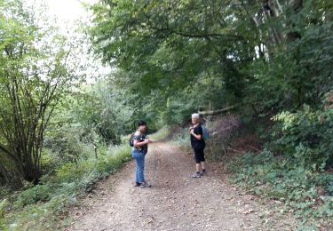
On foot

Walking
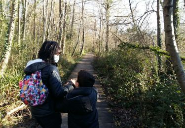
Walking
Walking
Walking
Walking
Walking
Walking
On foot