


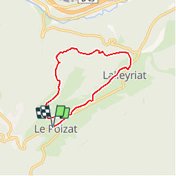

7.6 km | 9.6 km-effort


User


FREE GPS app for hiking
 SityTrail
IGN / Geographical institutes
SityTrail World
The world is yours!
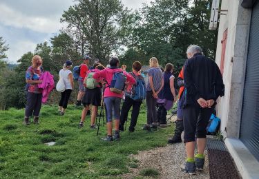
Trail Mountain bike of 6 km to be discovered at Auvergne-Rhône-Alpes, Ain, Le Poizat-Lalleyriat. This trail is proposed by tracegps.
Espace VTT - FFC du Bugey no 38 Circuit labellisé par la Fédération Française de Cyclisme. Le relief de moyenne montagne du Plateau d’Hauteville permet tout naturellement la pratique du VTT. Des itinéraires accessibles à tous, du vététiste bucolique au plus sportif.


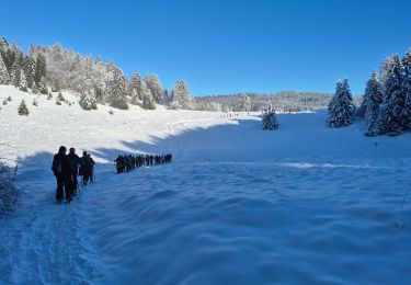
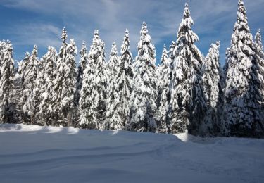
Snowshoes

Walking
Walking
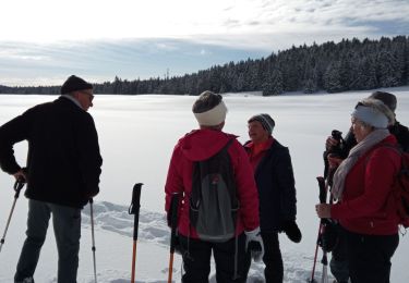
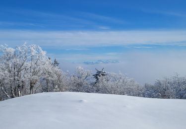
Snowshoes
Snowshoes
Snowshoes
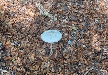
Walking
Walking
Walking