Trail Walking Cambayrac - Hauts de Landorre - Cambayrac - Photo

Hauts de Landorre - Cambayrac

 tracegps
tracegps

User

© OpenStreetMap contributors
Length
Length
5.9 km
Max alt
Max alt
277 m
Uphill gradient
Uphill gradient
208 m
Km-Effort
Km-Effort  
8.7 km
Min alt
Min alt
166 m
Downhill gradient
Downhill gradient
210 m
Boucle
Boucle
Yes
Creation date :
2014-12-10 00:00:00.0
Updated on :
2014-12-10 00:00:00.0

(0 Reviews)

Walking
Walking
1h30
Difficulty : Difficult

Scan this QR Code to open this trail in the SityTrail application

FREE GPS app for hiking

Logo SityTrail SityTrail

IGN / Geographical institutes

Download SityTrail from the App Store Download SityTrail from Google Play

Logo SityTrail SityTrail World

The world is yours!

Download SityTrail from the App Store Download SityTrail from Google Play Download SityTrail on Huawei AppGallery

About

Trail Walking of 5.9 km to be discovered at Occitania, Lot, Cambayrac. This trail is proposed by tracegps.

Description

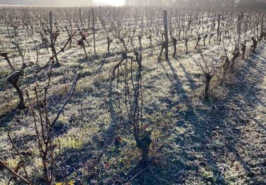
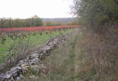
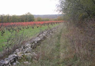
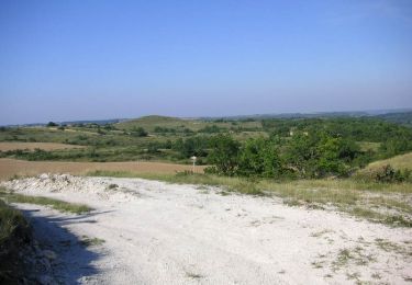
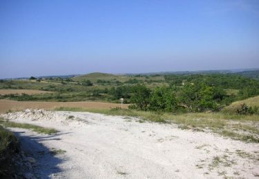
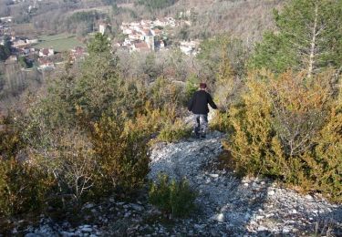
Petit circuit de 6 km dominant le ravin de Landorre, essentiellement sur sentier, avec quelques montées assez raides pouvant présenter des difficultés pour des personnes peu habituées à la marche en montagne. À Cambayrac prendre la rue qui descend à gauche de l'église, puis en face vers la station d'épuration la petite route qui mène aux Grèzes. Laisser à droite une route qui revient vers le village. Après le panneau "Algombert", prendre juste après une maison en ruines,un sentier qui monte sur la droite. Rejoindre la route des Grèzes et la suivre sur quelques mètres avant de prendre en face un sentier à droite de la route. La rejoindre de nouveau au niveau d'un pont, la suivre sur une centaine de mètres puis prendre sur la gauche un sentier assez raide, tracé par les motos, qui monte à flanc de colline. Au sommet suivre une vigne jusqu'à un chemin assez large que l'on prend sur la gauche. Après 7 à 800 mètres, à un carrefour en T, prendre à gauche un chemin herbu et, lorsque celui-ci part à gauche à 90°, prendre un sentier à droite sur quelques mètres (cairn au pied d'un arbre) puis un autre à gauche. Le suivre dans sa montée le long de la falaise puis, peu après un poteau électrique, laisser à droite un sentier qui monte vers Les Roques et continuer tout droit la descente vers le fond du ruisseau de Landorre, que l'on traverse pour arriver à un carrefour. Prendre en face un petit sentier peu visible qui grimpe dans la falaise. Lorsque ce sentier rejoint un chemin plus large, prendre celui-ci sur la gauche et rejoindre le centre de Cambayrac. Nous avons fait ce circuit avec des enfants sans problème, mais certaines personnes âgées pourraient avoir des difficultés dans les montées.

Elevation profile

Positioning

Country:
France
Region :
Occitania
Department/Province :
Lot
Municipality :
Cambayrac
Location:
Unknown
Start:(Dec)
Start:(UTM)
363552 ; 4920807 (31T) N.

Trails nearby

Trail Walking Saint-Vincent-Rive-d'Olt - St Vincent-rive  d’Holt (Lot) - Photo
Walking
houbart

Walking

Difficult
(1)
Saint-Vincent-Rive-d'Olt, Occitania, Lot, France
11.6 km | 17.4 km-effort
3h 57min
Yes
Trail Walking Villesèque - Villeseque Bagat  - Photo
Walking
GUIDE
antignacs

Walking

Very easy
Villesèque, Occitania, Lot, France
13.9 km | 16.4 km-effort
2h 59min
Yes
Trail Mountain bike Sauzet - De Sauzet à Luzech - Photo
Mountain bike
tracegps

Mountain bike

Difficult
Sauzet, Occitania, Lot, France
30 km | 39 km-effort
2h 30min
Yes
Trail Walking Sauzet - De Sauzet à Luzech - Photo
Walking
tracegps

Walking

Difficult
Sauzet, Occitania, Lot, France
30 km | 39 km-effort
7h 0min
Yes
Trail Mountain bike Sauzet - De Sauzet à St Pantaléon - Photo
Mountain bike
tracegps

Mountain bike

Medium
Sauzet, Occitania, Lot, France
29 km | 35 km-effort
2h 30min
Yes
Trail Walking Sauzet - De Sauzet à St Pantaléon - Photo
Walking
tracegps

Walking

Difficult
Sauzet, Occitania, Lot, France
29 km | 35 km-effort
6h 0min
Yes
Trail Walking Saint-Vincent-Rive-d'Olt - Point de vue sur le cingle de Luzech - Photo
Walking
tracegps

Walking

Difficult
(1)
Saint-Vincent-Rive-d'Olt, Occitania, Lot, France
4.6 km | 7.3 km-effort
1h 30min
Yes
Trail Walking Cambayrac - Cambeyrac - Photo
Walking
thomas.o.vert

Walking

Medium
Cambayrac, Occitania, Lot, France
9.8 km | 12.4 km-effort
2h 11min
Yes
Trail Walking Villesèque - Trebai 3 - Photo
Walking
GUIDE
antignacs

Walking

Easy
Villesèque, Occitania, Lot, France
8.3 km | 10.3 km-effort
1h 56min
Yes


Close
My subscriptions