


14.2 km | 21 km-effort

User


FREE GPS app for hiking
 SityTrail
IGN / Geographical institutes
SityTrail World
The world is yours!
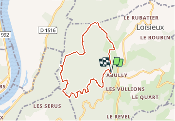
Trail Walking of 7.5 km to be discovered at Auvergne-Rhône-Alpes, Savoy, Loisieux. This trail is proposed by tracegps.
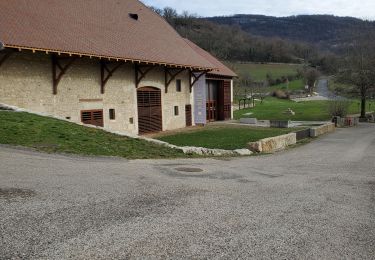
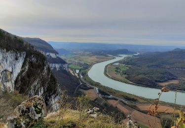
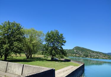
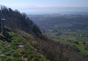
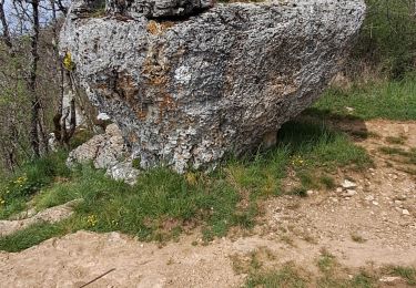
Depuis Labully, petit retour dans la Montagne du Tournier pour une randonnée autour du Bois de Glaize par des itinéraires déjà décrits fin 2006. Par la Grange des Rochettes, la belle clairière de la Chapelle Saint-Martin, l'itinéraire retrouve le panorama du belvédère du Recorba et plus haut le site de la Pierre Chapautée. Enfin, la boucle se poursuit par la descente de la Magne et la traversée de la Léchère avant de rejoindre le point de départ. Description complète sur sentier-nature.com : Autour du Bois de Glaize.

Horseback riding
Walking
Horseback riding
Walking
Horseback riding
Walking
Walking
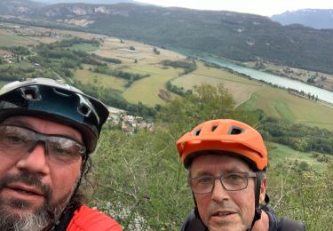
Mountain bike
Horseback riding