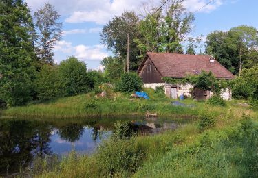
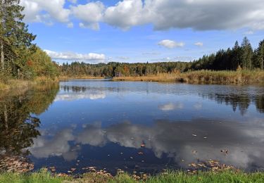
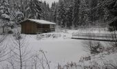
Trail Snowshoes Ramonchamp - Vosges en Raquettes : Les mille étangs - Photo

Vosges en Raquettes : Les mille étangs

 tracegps
tracegps

User

© OpenStreetMap contributors
Length
Length
6.9 km
Max alt
Max alt
780 m
Uphill gradient
Uphill gradient
196 m
Km-Effort
Km-Effort  
9.5 km
Min alt
Min alt
627 m
Downhill gradient
Downhill gradient
197 m
Boucle
Boucle
Yes
Creation date :
2014-12-10 00:00:00.0
Updated on :
2014-12-10 00:00:00.0

(0 Reviews)

Snowshoes
Snowshoes
1h45
Difficulty : Medium

Scan this QR Code to open this trail in the SityTrail application

FREE GPS app for hiking

Logo SityTrail SityTrail

IGN / Geographical institutes

Download SityTrail from the App Store Download SityTrail from Google Play

Logo SityTrail SityTrail World

The world is yours!

Download SityTrail from the App Store Download SityTrail from Google Play Download SityTrail on Huawei AppGallery

About

Trail Snowshoes of 6.9 km to be discovered at Grand Est, Vosges, Ramonchamp. This trail is proposed by tracegps.

Description

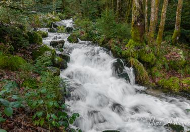
Depuis Ramonchamp monter à Grammont (indications rando quad). Se garer au bout de la route après rando quad. Suivre le balisage rond bleu pour monter à l'étang noir. A l'étang partir à gauche toujours rond bleu (belvédère sur Ramonchamp), traverser 2 fois la route et continuer rond bleu au milieu des étangs. On retrouve le GR pour une forte descente, puis continuer à gauche en suivant le GR pour revenir au point de départ. Courte mais belle balade en bordure du plateau des mille étangs sur la partie vosgienne. 7km pour 220m de dénivelé

Elevation profile

Photos

Positioning

Country:
France
Region :
Grand Est
Department/Province :
Vosges
Municipality :
Ramonchamp
Location:
Unknown
Start:(UTM)
330291 ; 5305135 (32T) N.

Comments

Please log in to post a review or rate the element


Superbe rando raquette, par contre j'aimerais comprendre vous l'avez bouclée en 1h45... En tout cas magnifique...


Trails nearby

Trail Walking Le Ménil - Boucle au départ des chalets de la
Walking
dboon

Walking

Easy
(3)
Le Ménil, Grand Est, Vosges, France
10 km | 14.1 km-effort
3h 0min
Yes
Trail Walking Beulotte-Saint-Laurent - Randonnée des étangs - Beulotte Saint Laurent  - Photo
Walking
tracegps

Walking

Medium
(4)
Beulotte-Saint-Laurent, Bourgogne-Franche-Comté, Haute-Saône, France
10.7 km | 13.9 km-effort
2h 30min
Yes
Trail On foot Fresse-sur-Moselle - Les ballons à l’horizon - Photo
On foot
GUIDE+

On foot

Easy
Fresse-sur-Moselle, Grand Est, Vosges, France
7.7 km | 12.6 km-effort
2h 51min
Yes
Trail Walking Beulotte-Saint-Laurent - Beulotte-Saint-Laurent 13 700m + 317m - Photo
Walking
DanielROLLET

Walking

Easy
(1)
Beulotte-Saint-Laurent, Bourgogne-Franche-Comté, Haute-Saône, France
13.7 km | 17.9 km-effort
3h 50min
Yes
Trail Walking Haut-du-Them-Château-Lambert - Chateau-Lambert mines de cuivre et source de l'Oignon - Photo
Walking
ballet

Walking

Easy
(1)
Haut-du-Them-Château-Lambert, Bourgogne-Franche-Comté, Haute-Saône, France
9.6 km | 14.6 km-effort
2h 30min
Yes
Trail Walking Ramonchamp - Tournée de 3 chalets - Photo
Walking
spierre88

Walking

Medium
Ramonchamp, Grand Est, Vosges, France
6.2 km | 9 km-effort
2h 3min
Yes
Trail Walking Servance-Miellin - 20230616 la petite Finlande  - Photo
Walking
Sugg

Walking

Medium
Servance-Miellin, Bourgogne-Franche-Comté, Haute-Saône, France
8.4 km | 10 km-effort
3h 25min
Yes
Trail Walking Corravillers - 08-10-22 - Photo
Walking
annefrance70

Walking

Easy
Corravillers, Bourgogne-Franche-Comté, Haute-Saône, France
5.6 km | 7.4 km-effort
1h 44min
Yes
Trail Walking Fresse-sur-Moselle - Croix de Fresse - Vosges - France - Photo
Walking
boulou300

Walking

Medium
(1)
Fresse-sur-Moselle, Grand Est, Vosges, France
13.4 km | 19.6 km-effort
3h 10min
Yes


Close
My subscriptions