Trail Snowshoes Mijoux - Les crêtes du Mont Rond - Photo

Les crêtes du Mont Rond

 tracegps
tracegps

User

© OpenStreetMap contributors
Length
Length
4.3 km
Max alt
Max alt
1539 m
Uphill gradient
Uphill gradient
37 m
Km-Effort
Km-Effort  
5.5 km
Min alt
Min alt
1310 m
Downhill gradient
Downhill gradient
256 m
Boucle
Boucle
No
Creation date :
2014-12-10 00:00:00.0
Updated on :
2014-12-10 00:00:00.0

(0 Reviews)

Snowshoes
Snowshoes
2h00
Difficulty : Easy

Scan this QR Code to open this trail in the SityTrail application

FREE GPS app for hiking

Logo SityTrail SityTrail

IGN / Geographical institutes

Download SityTrail from the App Store Download SityTrail from Google Play

Logo SityTrail SityTrail World

The world is yours!

Download SityTrail from the App Store Download SityTrail from Google Play Download SityTrail on Huawei AppGallery

About

Trail Snowshoes of 4.3 km to be discovered at Auvergne-Rhône-Alpes, Ain, Mijoux. This trail is proposed by tracegps.

Description

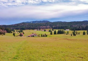
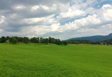
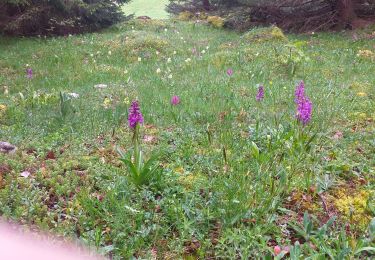
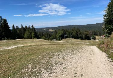
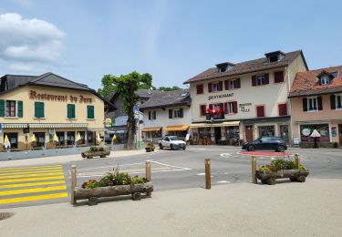
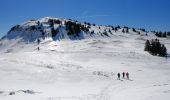
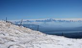
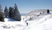
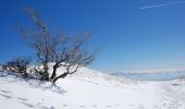
Une promenade superbe sur les crêtes du Jura dominant le lac Leman avec une vue magnifique sur le massif du Mont Blanc. Dans cette version la montée se fait avec le télésiège du Mont Rond que l'on prend au col de la Faucille, les plus courageux pourront monter à Pied. Les coordonnées commencent au sommet du Mont rond. Un promenade facile mais à faire par beau temps, la route passe le long de crêtes surplombant un a pic impressionnant. Très facile très peu de montée. Fait Le 6 Mars 2008

Elevation profile

Photos

Positioning

Country:
France
Region :
Auvergne-Rhône-Alpes
Department/Province :
Ain
Municipality :
Mijoux
Location:
Unknown
Start:(UTM)
270496 ; 5138138 (32T) N.

Trails nearby

Trail Walking Lamoura - Tresberruy - Lamoura - Photo
Walking
tracegps

Walking

Difficult
(1)
Lamoura, Bourgogne-Franche-Comté, Jura, France
14.5 km | 20 km-effort
4h 0min
Yes
Trail Cycle Lajoux - 2023-08-18_15h23m20_lamoura - Photo
Cycle
daniellebou

Cycle

Very easy
(1)
Lajoux, Bourgogne-Franche-Comté, Jura, France
21 km | 26 km-effort
Unknown
Yes
Trail Running Mijoux - UTTJ 2015-2 - Photo
Running
bourel.jacques

Running

Very difficult
(1)
Mijoux, Auvergne-Rhône-Alpes, Ain, France
57 km | 92 km-effort
18h 13min
No
Trail Walking Lamoura - lamoura neige et plein air - Photo
Walking
Nicolesophie08

Walking

Difficult
Lamoura, Bourgogne-Franche-Comté, Jura, France
6.8 km | 9.5 km-effort
2h 25min
Yes
Trail Walking Lamoura - neige et plein air lamoura - Photo
Walking
Nicolesophie08

Walking

Medium
Lamoura, Bourgogne-Franche-Comté, Jura, France
6.8 km | 9.3 km-effort
2h 54min
Yes
Trail Walking Lajoux - Le crêt de la vigoureuse (le vrai) - Photo
Walking
GUIDE
stef789

Walking

Easy
Lajoux, Bourgogne-Franche-Comté, Jura, France
10.4 km | 13.4 km-effort
4h 9min
Yes
Trail Walking Lajoux - crêt vigoureuse - Photo
Walking
eltonnermou

Walking

Medium
Lajoux, Bourgogne-Franche-Comté, Jura, France
12.3 km | 16.8 km-effort
5h 0min
Yes
Trail Walking Gex - Balade à Col de la Faucille, Gex - Photo
Walking
Gaiato

Walking

Very difficult
Gex, Auvergne-Rhône-Alpes, Ain, France
86 km | 135 km-effort
9h 23min
No
Trail Bicycle tourism Mijoux - LES ROUSSES - COL DE LA FAUCILLE  - Photo
Bicycle tourism
jean-marie.parachini

Bicycle tourism

Very difficult
Mijoux, Auvergne-Rhône-Alpes, Ain, France
54 km | 68 km-effort
4h 57min
No


Close
My subscriptions