


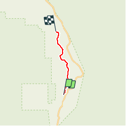

4.7 km | 6.9 km-effort

User


FREE GPS app for hiking
 SityTrail
IGN / Geographical institutes
SityTrail World
The world is yours!
Trail Walking of 5.3 km to be discovered at Utah, Garfield County. This trail is proposed by phi14.
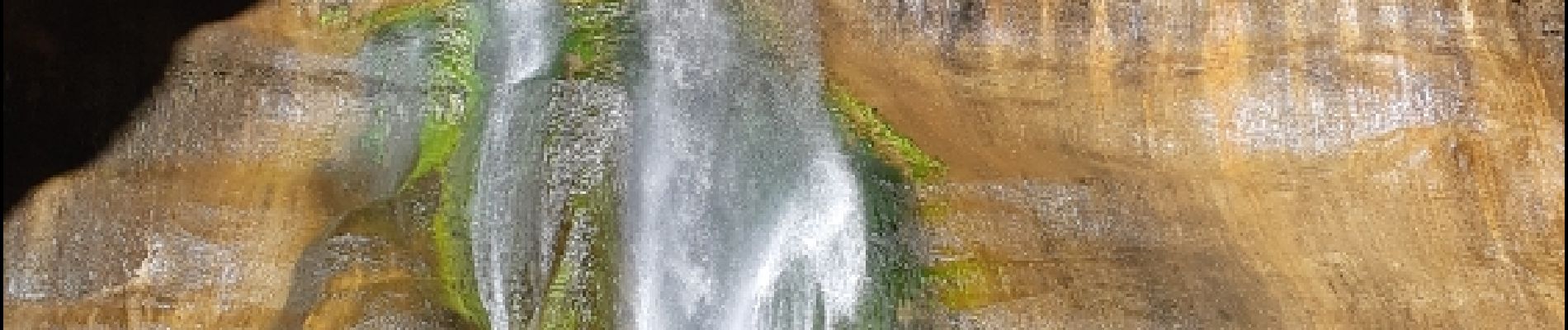
Très belle balade avec à l'arrivée une superbe chute d'eau. 10.6 km AR


