


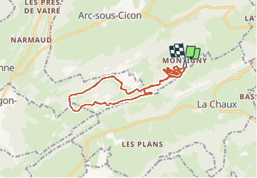

15.1 km | 20 km-effort


User


FREE GPS app for hiking
 SityTrail
IGN / Geographical institutes
SityTrail World
The world is yours!
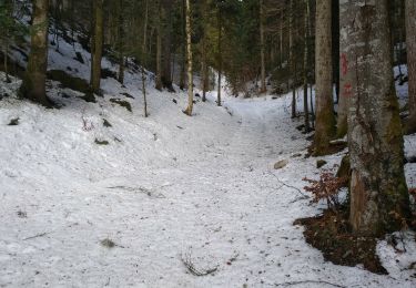
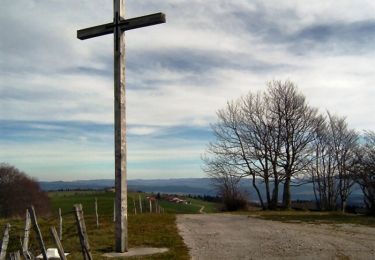
Trail Snowshoes of 30 km to be discovered at Bourgogne-Franche-Comté, Doubs, La Chaux. This trail is proposed by tracegps.
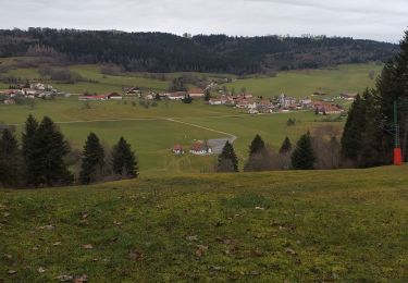
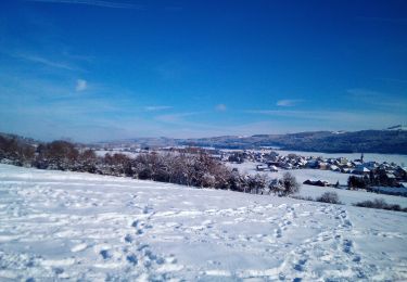
En réalité le circuit a été fait en ski de fond classique et skating, mais il n'existe pas de case ski de fond et le circuit se prête tout à fait aux raquettes. Par beau temps on distingue très bien la chaine des Alpes

Walking
Walking
Snowshoes
Snowshoes
Walking

Walking

Mountain bike

Quad

Walking