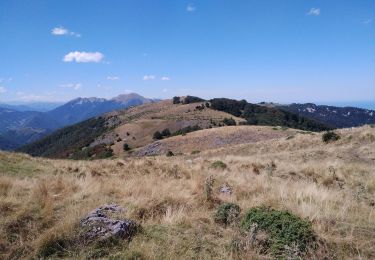
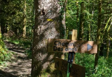
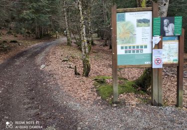
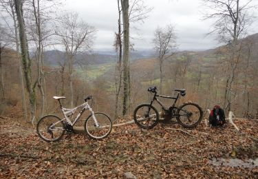
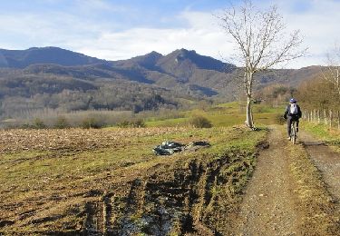
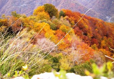
Trail Walking Arbas - 19-09-2018 Arbas - Photo

19-09-2018 Arbas

© OpenStreetMap contributors
Length
Length
15.8 km
Max alt
Max alt
907 m
Uphill gradient
Uphill gradient
723 m
Km-Effort
Km-Effort  
25 km
Min alt
Min alt
408 m
Downhill gradient
Downhill gradient
724 m
Boucle
Boucle
Yes
Creation date :
2019-01-15 16:34:02.178
Updated on :
2019-01-15 16:34:02.178

(0 Reviews)

Walking
Walking
5h35
Difficulty : Medium

Scan this QR Code to open this trail in the SityTrail application

FREE GPS app for hiking

Logo SityTrail SityTrail

IGN / Geographical institutes

Download SityTrail from the App Store Download SityTrail from Google Play

Logo SityTrail SityTrail World

The world is yours!

Download SityTrail from the App Store Download SityTrail from Google Play Download SityTrail on Huawei AppGallery

About

Trail Walking of 15.8 km to be discovered at Occitania, Haute-Garonne, Arbas. This trail is proposed by daniel3157.

Elevation profile

Photos

Points of interest

Point of interest Arbas - Point 1 : 13h15 - Photo
daniel3157
Point of interest Fougaron - Point 2 : 13h25 Bâtisse  - Photo
daniel3157
Point of interest Fougaron - Point 3 :Tourner à Droite - Photo
daniel3157
Point of interest Fougaron - Point 4 :13h35 Escaboues - Photo
daniel3157
Point of interest Fougaron - Point 10 : 15h07 Tourner à D - Photo
daniel3157
Point of interest Herran - Point 12 : 15h28 Herran - Photo
daniel3157
Point of interest Herran - Point 13 : 15h55 - Photo
daniel3157
Point of interest Arbas - Arrivée 18h07 - Photo
daniel3157
Point of interest Arbas - Départ 12h30 - Photo
daniel3157

Positioning

Country:
France
Region :
Occitania
Department/Province :
Haute-Garonne
Municipality :
Arbas
Location:
Unknown
Start:(UTM)
329441 ; 4762486 (31T) N.

Trails nearby

Trail Walking Herran - 2020-08-20 Arbas -  cabane de roqué pic -  de paloumère - sommet de cornudère. - Photo
Walking
jacq58

Walking

Medium
Herran, Occitania, Haute-Garonne, France
13.2 km | 23 km-effort
4h 14min
Yes
Trail Walking Arbas - Arbas, chemin du facteur avec extension Penne blanque - Photo
Walking
PhilB24

Walking

Medium
Arbas, Occitania, Haute-Garonne, France
13.8 km | 23 km-effort
4h 52min
Yes
Trail Walking Herran - Balade Coume Paloumere - Photo
Walking
Timax31

Walking

Very difficult
Herran, Occitania, Haute-Garonne, France
11.1 km | 19.5 km-effort
5h 6min
Yes
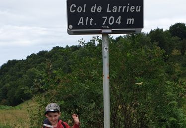
Trail Walking Estadens - COL de LARRIEU avec Léo - Photo
Walking
jopost

Walking

Very easy
(1)
Estadens, Occitania, Haute-Garonne, France
3.4 km | 5.2 km-effort
1h 10min
Yes
Trail Mountain bike Arbas - Circuit VTT n°32 Arbas - Photo
Mountain bike
tracegps

Mountain bike

Very difficult
Arbas, Occitania, Haute-Garonne, France
27 km | 40 km-effort
3h 30min
Yes
Trail Mountain bike Arbas - Circuit VTT n°31 à Arbas - Photo
Mountain bike
tracegps

Mountain bike

Difficult
(1)
Arbas, Occitania, Haute-Garonne, France
22 km | 32 km-effort
2h 30min
Yes
Trail Mountain bike Estadens - Espace VTT FFC Pyrénées Comminges - n° 34 Le Bois du Thouas  - Photo
Mountain bike
tracegps

Mountain bike

Medium
Estadens, Occitania, Haute-Garonne, France
9.7 km | 13.7 km-effort
1h 30min
Yes
Trail Mountain bike Herran - Espace VTT FFC Pyrénées Comminges - n° 33 La croix de Guéret  - Photo
Mountain bike
tracegps

Mountain bike

Very difficult
Herran, Occitania, Haute-Garonne, France
12.2 km | 21 km-effort
1h 45min
Yes
Trail Mountain bike Arbas - Espace VTT FFC Pyrénées Comminges - n° 32 Le Tour du Haut Arbas  - Photo
Mountain bike
tracegps

Mountain bike

Very difficult
(1)
Arbas, Occitania, Haute-Garonne, France
27 km | 41 km-effort
3h 0min
Yes


Close
My subscriptions