


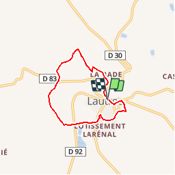

5.7 km | 8.2 km-effort


User


FREE GPS app for hiking
 SityTrail
IGN / Geographical institutes
SityTrail World
The world is yours!
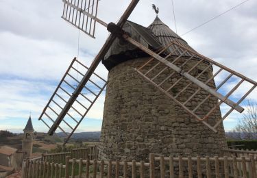
Trail Walking of 5.6 km to be discovered at Occitania, Tarn, Lautrec. This trail is proposed by tracegps.
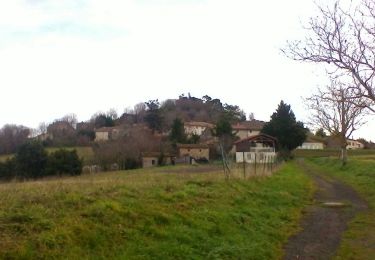
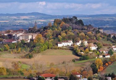
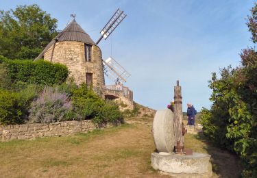
Balade courte et agréable sur les crêtes qui dominent le joli village médiéval de Lautrec. Très belle vue sur la Montagne Noire et sur les Monts de Lacaune. La visite du village termine agréablement la balade.
Walking
Walking

Walking

Electric bike

Walking