


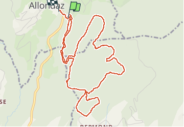

5.1 km | 8.9 km-effort


FREE GPS app for hiking
 SityTrail
IGN / Geographical institutes
SityTrail World
The world is yours!
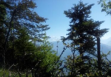
Trail Equestrian of 6.6 km to be discovered at Auvergne-Rhône-Alpes, Savoy, Allondaz. This trail is proposed by chevallier.laurent@gmail.com.
Walking
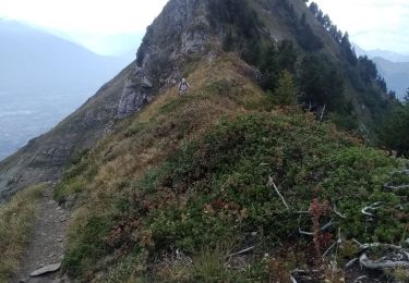
Walking
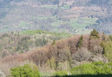
Walking
Walking
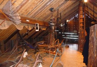
Other activity

Cycle
Walking

Walking
Walking