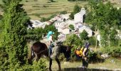
Trail Mountain bike Comus - Grande Traversée VTT FFC Ariège Pyrénées - Etape 3 - Comus - Lavelanet - Photo

Grande Traversée VTT FFC Ariège Pyrénées - Etape 3 - Comus - Lavelanet

 tracegps
tracegps

User

© OpenStreetMap contributors
Length
Length
22 km
Max alt
Max alt
1178 m
Uphill gradient
Uphill gradient
753 m
Km-Effort
Km-Effort  
35 km
Min alt
Min alt
531 m
Downhill gradient
Downhill gradient
1389 m
Boucle
Boucle
No
Creation date :
2014-12-10 00:00:00.0
Updated on :
2014-12-10 00:00:00.0

(0 Reviews)

Mountain bike
Mountain bike
3h00
Difficulty : Very difficult

Scan this QR Code to open this trail in the SityTrail application

FREE GPS app for hiking

Logo SityTrail SityTrail

IGN / Geographical institutes

Download SityTrail from the App Store Download SityTrail from Google Play

Logo SityTrail SityTrail World

The world is yours!

Download SityTrail from the App Store Download SityTrail from Google Play Download SityTrail on Huawei AppGallery

About

Trail Mountain bike of 22 km to be discovered at Occitania, Aude, Comus. This trail is proposed by tracegps.

Description

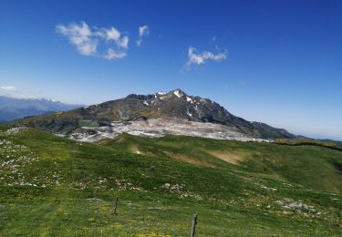
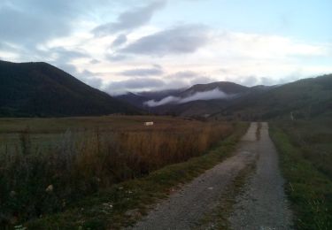
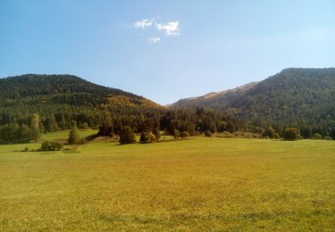
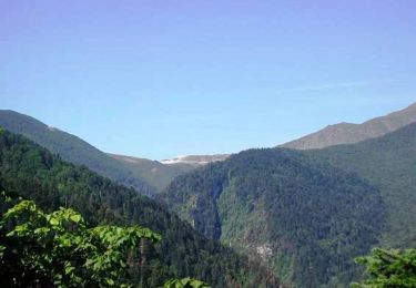
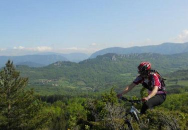
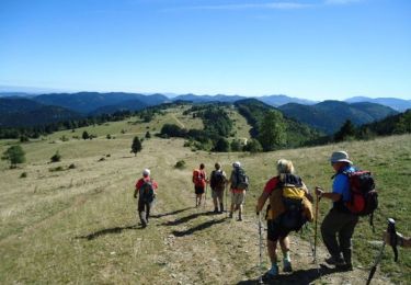
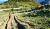
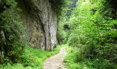
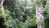
Grande Traversée VTT Ariège Pyrénées - Etape 3 - Comus – Lavelanet Circuit labellisé par la Fédération Française de Cyclisme. Magnifique étape avec les Gorges de la Frau, les « Gorges de l’Effroi » aux fond desquelles on peut entendre le « murmure des âmes ». Après les falaises impressionnantes encore de nombreux passages techniques avant d’arriver au Château de Montségur, haut lieu du catharisme qui a conservé une inquiétante et sauvage silhouette. Puis descente avec quelques passages techniques sur Lavelanet. Agence de Développement Touristique d'Ariège Pyrénées Route de Ganac – BP 30143 – 09004 Foix Cedex Tél : 05 61 02 30 70/fax : 05 61 65 17 34

Elevation profile

Photos

Positioning

Country:
France
Region :
Occitania
Department/Province :
Aude
Municipality :
Comus
Location:
Unknown
Start:(UTM)
409349 ; 4740466 (31T) N.

Trails nearby

Trail Walking Prades - Pic Fourcat Prades  - Photo
Walking
caccini

Walking

Medium
(1)
Prades, Occitania, Ariège, France
14 km | 25 km-effort
6h 52min
Yes
Trail Snowshoes Montaillou - Montaillou - Quercourt - Cassaula  - Photo
Snowshoes
meunier.ph.

Snowshoes

Easy
Montaillou, Occitania, Ariège, France
14 km | 24 km-effort
4h 21min
Yes
Trail Walking Camurac - Les cretes de Camurac 2021 - Photo
Walking
c.chehere

Walking

Medium
Camurac, Occitania, Aude, France
14.3 km | 23 km-effort
5h 38min
Yes
Trail Walking Camurac - Les sept frères - Photo
Walking
c.chehere

Walking

Easy
Camurac, Occitania, Aude, France
15.5 km | 23 km-effort
5h 31min
Yes
Trail Walking Camurac - Tour du Boum - Photo
Walking
c.chehere

Walking

Easy
Camurac, Occitania, Aude, France
16.8 km | 23 km-effort
4h 0min
Yes
Trail Walking Camurac - les crêtes de Camurac - Photo
Walking
c.chehere

Walking

Medium
Camurac, Occitania, Aude, France
15.6 km | 24 km-effort
4h 30min
Yes
Trail Mountain bike Belcaire - Tour des châteaux du Pays Cathare - Belcaire - Puivert - Photo
Mountain bike
tracegps

Mountain bike

Very difficult
Belcaire, Occitania, Aude, France
57 km | 83 km-effort
3h 30min
No
Trail Mountain bike Camurac - Du sentier Cathare à Espéraza - Photo
Mountain bike
tracegps

Mountain bike

Difficult
Camurac, Occitania, Aude, France
51 km | 63 km-effort
5h 30min
No
Trail Walking Comus - Sentier Cathare - De Comus à Espezel - Photo
Walking
tracegps

Walking

Medium
Comus, Occitania, Aude, France
19.9 km | 26 km-effort
5h 30min
No


Close
My subscriptions