


7.4 km | 10 km-effort

User


FREE GPS app for hiking
 SityTrail
IGN / Geographical institutes
SityTrail World
The world is yours!
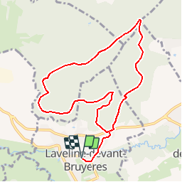
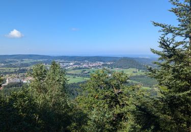
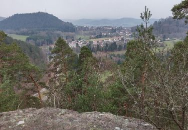
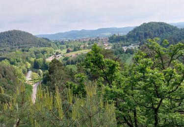
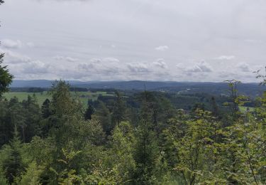
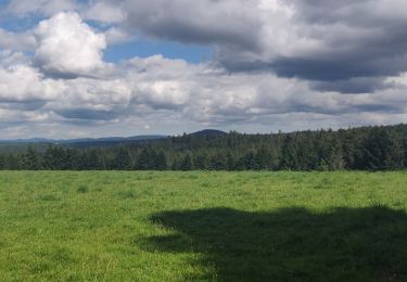
Trail Mountain bike of 9.4 km to be discovered at Grand Est, Vosges, Laveline-devant-Bruyères. This trail is proposed by tracegps.
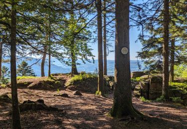
Espace VTT FFC Chemins du Cœur des Vosges - circuit n°55 - Le rocher de l’Ermitage. Circuit officiel labellisé par la Fédération Française de Cyclisme. Rando facile au départ de Laveline devant Bruyères dans la forêt du même nom.

Walking
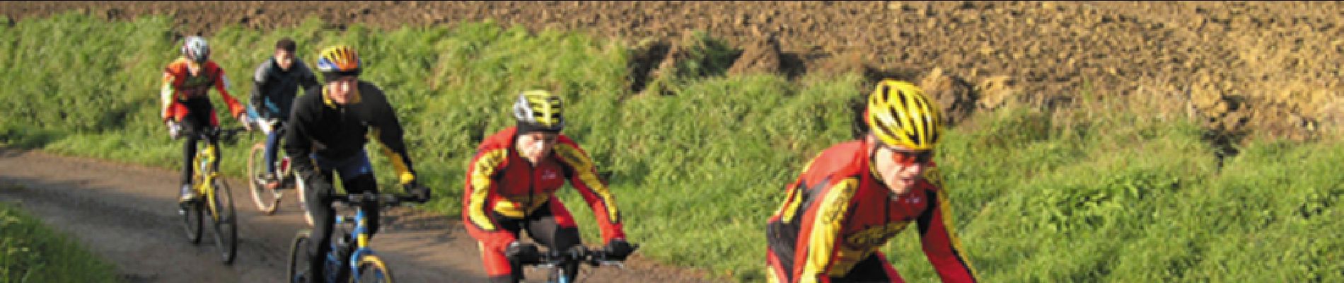
Mountain bike
Horseback riding
Walking
Other activity
Walking

Electric bike
Electric bike
Electric bike